The Prairie Epicenter: Saskatchewan and Manitoba
Wildfires in 2025 turned Saskatchewan and Manitoba into fire-scarred regions, with the two provinces collectively burning 5,065 thousand hectares, which accounted for 57.5 percent of all area burned in Canada, even though they were the origin for only 16.6 percent of the country’s fire starts (Canadian Wildland Fire Information System). This concentration revealed the defining characteristic of 2025: fires were not more numerous but dramatically larger. Saskatchewan burned 2,896 thousand hectares in 5.98 times its historical average, while Manitoba burned 2,169 thousand hectares in 8.64 times its average. The satellite imagery in Figures 6A and 6B shows large continuous orange polygons dominating the prairies, indicating landscape-scale burns where entire forest stands were consumed by fire intensity.
Saskatchewan’s landscape was dominated by the Shoe Fire, which scorched 565,700 hectares and became Canada’s largest wildfire of 2025. This single fire accounted for 19.5 percent of Saskatchewan’s total burned area and was roughly 25 times the size of Saskatoon. The Shoe Fire drove evacuation orders for Fishing Lake, East Lake, Little Bear Lake, Wayland Bay, Pelican Narrows, and Peter Ballantyne Cree Nation, displacing approximately 4,000 residents. Candle Lake Resort Village issued a state of emergency on June 2 when flames approached within 9 kilometers, though the community was ultimately spared. The Saskatchewan Health Authority faced an extraordinary challenge when fires threatened La Ronge Health Centre, requiring evacuation of over 45 acute care and long-term care residents. Other major fires including the Pisu Fire and Laloche Fire added to the destruction across northern Saskatchewan, with average fire size reaching 5,984 hectares compared to the historical average of 1,575 hectares (Canadian Wildland Fire Information System).
Manitoba’s fire crisis differed in character but matched in severity. The province experienced more concentrated burns in the northwest and central regions, with the Lynn Lake fire representing a critical case study in how industrial activity intersected with wildfire. The fire ignited on May 7 when a burn pile at Alamos Gold’s MacLellan mining site reignited after inadequate suppression, ultimately burning over 85,000 hectares and forcing evacuation of 600 residents.
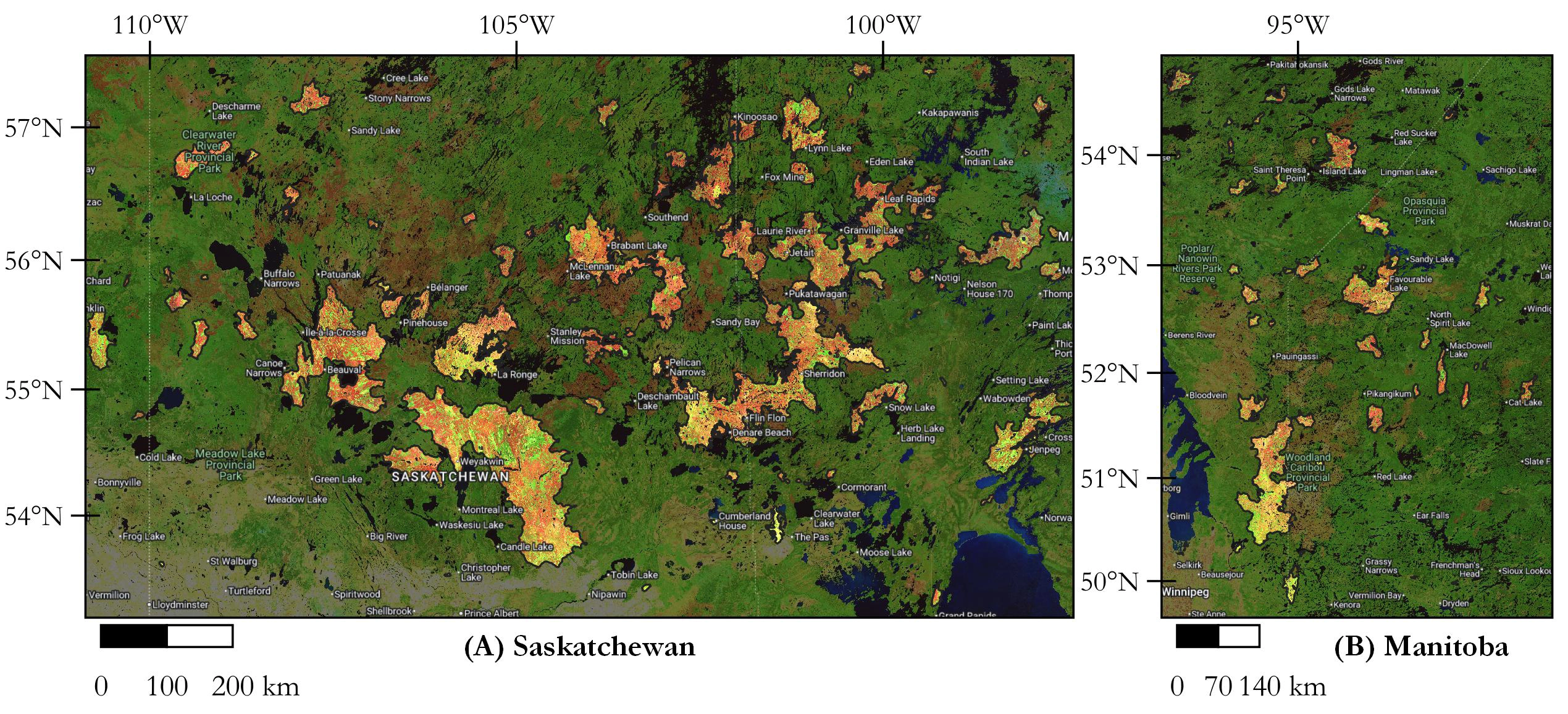
The mining city of Flin Flon, with 5,000 residents, evacuated on May 28 when a landfill fire spread toward the city, with Mayor George Fontaine describing the evacuation as severing the social fabric of an interconnected community scattered 750 kilometers away. Lac du Bonnet witnessed tragedy when two residents became trapped and died as wildfire approached. Cranberry Portage and Pimicikamak Cree Nation also faced evacuation. Overall, more than 17,000 Manitobans (approximately 2 percent of the province’s population) were displaced as 60 active wildfires burned simultaneously, with 17 classified as out of control. The smoke became so thick that water bomber operations were curtailed. Manitoba’s average fire size reached 5,044 hectares compared to the historical average of 754 hectares, reflecting the unprecedented speed and intensity with which fires spread under 2025’s climate conditions (Government of Manitoba). The combined impact of these two provinces’ fire crises overwhelmed domestic firefighting capacity, requiring immediate activation of international assistance agreements. Resources from the United States, Chile, Costa Rica, Mexico, and other nations were deployed to the prairies in May and June, highlighting the national and continental scope of the crisis.
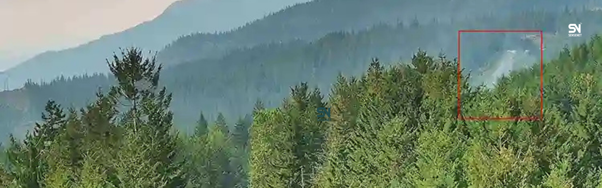
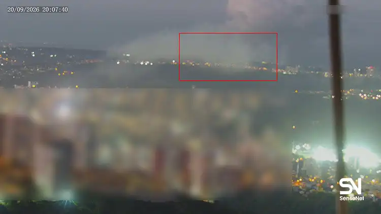
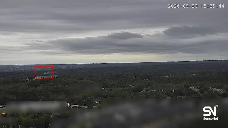
The exceptional size of prairie fires in 2025, despite normal fire frequency, resulted from a convergence of extreme weather conditions and detection delays that rendered traditional suppression tactics ineffective. The region experienced record-breaking temperatures and persistent drought that created fuel moisture levels far below thresholds necessary for fire containment, allowing fires that ignited to spread with explosive speed across continuous boreal and grassland fuels lacking natural firebreaks. Critically, detection latency in remote regions like Narrow Hills Provincial Park meant fires burned undetected for hours or days before being spotted by aerial patrols or satellites, allowing them to establish large perimeters before suppression crews could deploy. Once fires reached landscape scale, they generated their own weather systems and fire-induced winds that accelerated spread beyond the capacity of domestic suppression resources. While response resources were eventually mobilized to near-maximum capacity, the temporal lag between ignition and initial attack proved decisive, by the time resources arrived, fires had already escaped suppression. The combination of climate-driven fuel conditions that favored rapid spread and geographic isolation that delayed detection created the optimal conditions for megafire development, overwhelming a fire management system designed for smaller, slower-moving incidents.
Canada 2025 Fire Season Analysis
- Canada 2025 Fire Season Part 1: Second largest in the past 40 years
- Canada 2025 Fire Season Part 2: The Prairie Epicenter, Saskatchewan and Manitoba
- Canada 2025 Fire Season Part 3: Western Focus, Alberta, British Columbia, and the Northwest Territories
- Canada 2025 Fire Season Part 4: Seasonal Dynamics and 10-Year Comparison
- Canada 2025 Fire Season Part 5: Response Operations and Resource Mobilization
- Canada 2025 Fire Season Part 6: Long-Term Trends and Historical Context