2025 BC Tech Award 2025 Business Distinction Awards Winner!

Satellite Solutions for Wildfire Management

From Prevention to Recovery: Comprehensive satellite intelligence for every stage of wildfire response

Advanced satellite technology enables authorities to prepare, respond, and recover with unprecedented precision and speed.

How SenseNet make it's possible?

PRE-EVENT: Prepare and Prevent

Help authorities plan resources, identify high-risk areas, and implement preventative measures before fires occur.

01

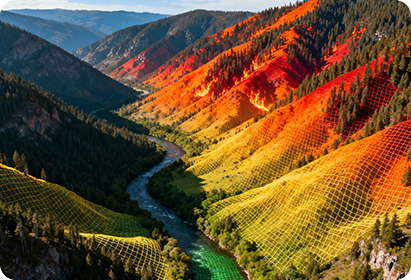
Fire Risk Mapping

Real-time satellite-derived risk assessment showing high-probability fire zones based on vegetation, weather, and topography.
Used in
Used by forest management agencies, emergency response planners, and regional fire prevention teams to identify critical areas and allocate seasonal planning budgets.
Why it matters
Early identification of high-risk zones allows authorities to strategically position resources and maximize prevention ROI by targeting fuel reduction efforts to areas with the highest burn probability.

02

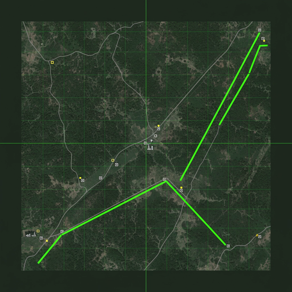
Fire Prevention Planning Tool

Satellite-based analysis of vegetation density, accessibility, and infrastructure proximity to prioritize fuel management and firebreak placement.

Used in
Used by land managers, municipal planners, and Indigenous communities for long-term wildland-urban interface planning and prescribed burn scheduling.
Why it matters
Enables data-driven decisions on where to conduct controlled burns and establish firebreaks, reducing guesswork in prevention planning and improving community safety.

DURING-EVENT: Respond and Suppress

Provide real-time intelligence to manage active fire operations, optimize resource allocation, and maintain situational awareness during firefighting efforts.

03

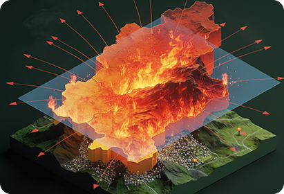
Fire Spread Analysis

Real-time satellite and AI-based fire perimeter detection with predictive modeling showing likely spread direction and speed over the next hours and days.
Used in
Used by incident commanders and emergency response teams managing active wildfires to forecast fire behavior and optimize evacuation routes and resource positioning.
Why it matters
Accurate spread predictions save lives by enabling timely evacuations, preventing firefighter casualties, and allowing tactical positioning of suppression crews to cut off fire advancement.

04

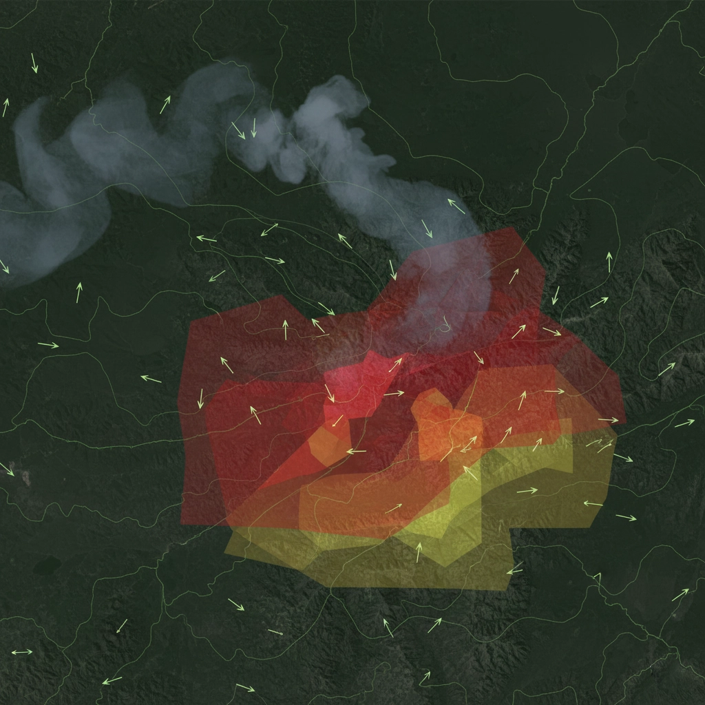
Physical Fire Modeling & Dynamics

Integrates satellite observations with meteorological and topographic data to model fire intensity, flame behavior, and smoke movement in real-time.

Used in
Used by fire behavior analysts, air quality agencies, and incident management teams to forecast smoke impact zones and coordinate multi-agency response efforts.
Why it matters
Enables accurate smoke forecasting for public health warnings and safe routing for aircraft and emergency vehicles, helping agencies communicate fire behavior with confidence.

POST-EVENT: Analyze and Recover

Enable rapid assessment of fire impacts, guide restoration efforts, and inform policy/insurance decisions through detailed satellite analysis.

05

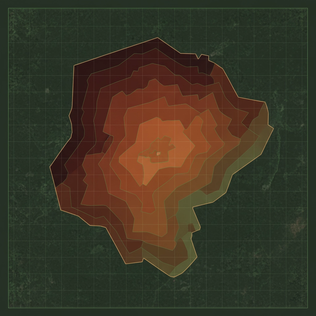
Burnt Area Mapping & Severity Assessment

Satellite-derived high-resolution mapping of burn extent and severity classification within days of fire containment.
Used in
Used by government recovery agencies, insurance assessors, ecological restoration teams, and resource managers to quantify fire damage and prioritize restoration activities.
Why it matters
Rapid, objective burn severity mapping accelerates damage assessment, insurance claims processing, and helps prioritize areas needing erosion control, replanting, or watershed protection.

06

Restoration & Recovery Planning

Combines burn severity, slope, soil type, and hydrological data to recommend tailored restoration strategies including reforestation, erosion control, and habitat recovery.

Used in
Used by land management agencies, environmental NGOs, Indigenous communities, and conservation groups to prioritize restoration activities and allocate recovery resources.
Why it matters
Targets restoration investments to areas where intervention will have the highest ecological and economic impact, accelerating landscape recovery and enabling culturally-appropriate restoration approaches.

Want to Learn More? Book a Free Consultation.

Contact Information