2025 BC Tech Award 2025 Business Distinction Awards Winner!

The Industry-leader Technology

The most comprehensive wildfire management solution

Protecting the planet, critical infrastructure, and communities with reliable, real-time safeguards.

Every second matters, 35  01  02  03  04  05  06  07  08  09  10  11  12  13  14  15  16  17  18  19  20  21  22  23  24  25  26  27  28  29  30  31  32  33  34 ,Wildfire can grow fast

Every second matters,
35  01  02  03  04  05  06  07  08  09  10  11  12  13  14  15  16  17  18  19  20  21  22  23  24  25  26  27  28  29  30  31  32  33  34
,Wildfire can grow fast

How SenseNet makes it possible?

Detection Technologies

Cutting-edge technology that provides fast and accurate detection

01

Gas Sensors

Real-time detection of any anomalies in smouldering phase in high-risk areas.
Used in
Communities, encampments, railways, cargo ships, forests, mining, storages.
Why it matters
Before smoke or flame is visible, our gas sensors capture the first ignition signals in real-time.

02

AI Smoke Detection Cameras

Real-time detection of smoke and flame patterns within 50 km radius, night-vision, providing comprehensive situational awareness.

Used in
Forests, remote areas, powerlines, utilities, infrastructure, railways.
Why it matters
24/7 monitoring with long-range zoom, automated alerts, and solar-powered operation.

03

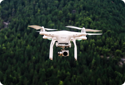
Drones

Accelerate wildfire response with instant detection.

Used in
Ideal for remote, hard-to-reach, and hazardous areas, delivering live insights into fire progression.
Why it matters
No personnel exposure to remote or hazardous areas, real-time streaming of the incident progression.

04

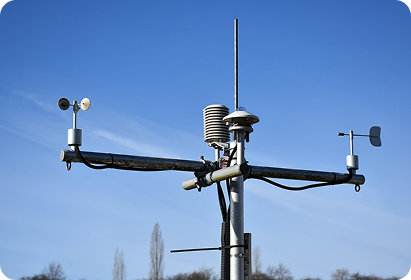
Micro Weather Stations

On-the-ground sensors track wind, temperature, and humidity.

Used in
Cities, communities, parks, airports, power utilities, and wildlife-prone areas.
Why it matters
Local real-time weather insights for smarter decisions, Early warning for hazardous conditions.

Predictive Analysis

Models and forecasts that anticipate risk, before it turns into crisis.

05

Fire Risk Modeling

Know when and where ignition is most likely.

Used in
Emergency planning, forestry, utilities, cities, industrial zones.
Why it matters
Actionable Fire Weather Index (FWI) updates, risk alerts, live modeling.

06

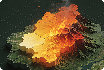
Hotspot Monitoring

Real-time wildfire monitoring and situational awareness

Used in
Remote areas with lack of access and visibility.
Why it matters
Efficient suppression planning using data from flame length, fire perimeter, and fire line.

07

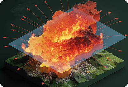
Fire Spread & Behaviour Analysis

Plan ahead, where will fire or smoke go next?

Used in
Fire operational teams, municipalities, land owners, and more.
Why it matters
8-hour to 7-day forecasts, 30+ data sources, high-resolution AI models.

Management Platform

Fully-integrated wildfire detection, management, and response platform.

08

Wildfire Detection and Management Interface

Monitoring incidents anytime anywhere

Used in
Fire departments, municipalities, emergency operation teams, and decision-makers.
Why it matters
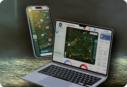
All-in-one user-friendly dashboard, instant alerts, live updates, situational awareness, multi-user access, accessible on phone, tablet, and desktop.

Want to Learn More? Book a Free Consultation.

Contact Information