Long-Term Trends and Historical Context
The 2025 season represents a continuation of a troubling long-term pattern in Canadian fire activity. Examining 42 years of national fire data from 1983 through 2025 reveals that Canada has entered a new fire regime. Figure 14 displays annual area burned and total number of fires from 1983 to 2025, showing a clear acceleration in burned area since 2015. Before 2015, the average annual area burned was 2.17 million hectares. Since 2015, it has been 4.59 million hectares, a 2.12 times increase (Canadian Wildland Fire Information System).
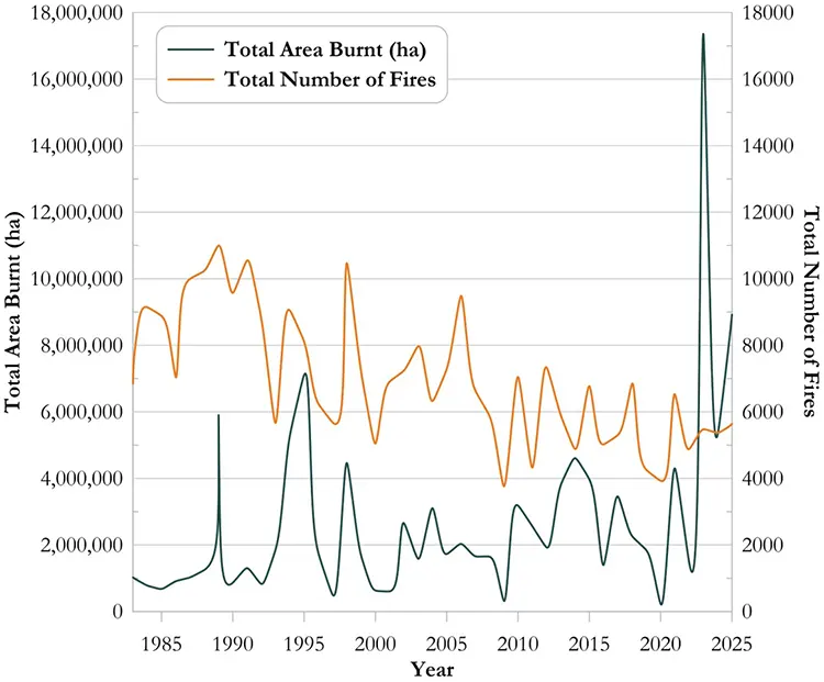
The decade-to-decade comparison is unambiguous. The 2000s averaged 1.60 million hectares annually. The 2010s averaged 2.90 million hectares. The 2020s to date average 6.26 million hectares. Figure 14 shows this acceleration graphically, with the area burned line rising sharply beginning in 2023.
Most striking is the pattern of consecutive severe seasons. 2023 burned a record 17.35 million hectares, 2024 burned 5.32 million hectares, and 2025 burned 8.92 million hectares. These three years alone account for 31.59 million hectares, representing 45.6 percent of the entire total burned during 1983-2014.
Before 2023, Canada had never experienced two consecutive years exceeding 5 million hectares burned. Now it has experienced three. A critical insight from Figure 14 is that fire occurrence has declined while area burned has increased. The 1980s-1990s averaged 8,838 fires annually. The 2020s average 5,325 fires. Yet area burned has more than doubled. The average fire size reveals this transformation: 251 hectares per fire in 1983-1995 versus 1,583 hectares per fire in 2025. Fewer fires are starting, but each fire grows dramatically larger before being controlled. This shift represents a fundamental change in Canada’s fire regime driven by climate change. Higher temperatures, earlier snowmelt, and reduced fuel moisture create conditions where fires expand rapidly.
Figure 14 documents this transition from the stable fire regimes of 1983-2004 to the accelerated patterns of 2015-2025. The implications are clear: the baseline for Canadian fire activity has shifted upward permanently. Years that would have been severe in the 2000s are now considered mild in the 2020s. Fire managers planning for 2026 and beyond cannot assume return to 2010s patterns but must prepare for the new 2020s fire regime as the new normal.
Climate Context and Future Projections
The 2025 wildfire season did not occur in isolation but within a context of rapidly changing climate conditions that are fundamentally altering fire behavior across Canada. The exceptional conditions that drove the prairie fire crisis of May and June 2025 reflect climate change mechanisms now well understood by atmospheric scientists. Spring 2025 brought unprecedented heat waves to central Canada. Saskatchewan, Manitoba, and Alberta recorded temperatures several degrees above historical normals throughout May and June. Winnipeg recorded 37 degrees Celsius on May 13, breaking a temperature record that had stood for 125 years (Environment and Climate Change Canada). A persistent high-pressure system over central Canada created descending air that warmed and dried fuels to dangerous levels, creating optimal conditions for rapid fire spread. This is an increasingly common weather pattern in a warming world.
Spring snowmelt in 2025 was notably light in some regions. Labrador’s snowpack measured 257 centimeters compared to 388 centimeters the previous year, a 34 percent reduction (Environment and Climate Change Canada). Earlier snowmelt combined with warm spring temperatures created conditions where fuels dried earlier and remained dry longer, extending the start of fire season and intensity. Climate science projections indicate that conditions similar to 2025 will become the norm rather than the exception. Research suggests Canada could experience up to a 140 percent increase in wildfire frequency by 2100 under current climate change trends. For eastern Canada, where fire weather is currently less frequent, projected increases in fire weather days could reach 200 to 300 percent. Extreme fire days globally could increase by 400 percent by 2050 (Canadian Climate Institute). These projections have profound implications for Canadian fire management. If 2025 becomes typical rather than exceptional, Canada will need to maintain firefighting capacity roughly double that common in the 1990s. This has budgetary, personnel, and equipment implications that will challenge provincial and federal fire management budgets for decades. The 2025 season, catastrophic as it was, may represent a glimpse of the new normal for Canadian wildfire management in the warming climate.
The infographic presented in Figure 15 visualizes Canada’s 2025 wildfire season using rough order-of-magnitude estimates derived from total burned area, typical forest carbon characteristics, and official emergency response data. Rather than presenting precise figures, these approximations are designed to communicate the profound scale of the crisis across interconnected dimensions, highlighting that the climate impact alone rivals the nation’s annual fossil fuel emissions, the economic disruption spans tens of billions in direct and indirect losses, and the environmental toll encompasses the displacement and mortality of vast wildlife populations alongside the evacuation and health impacts on hundreds of thousands of Canadians.
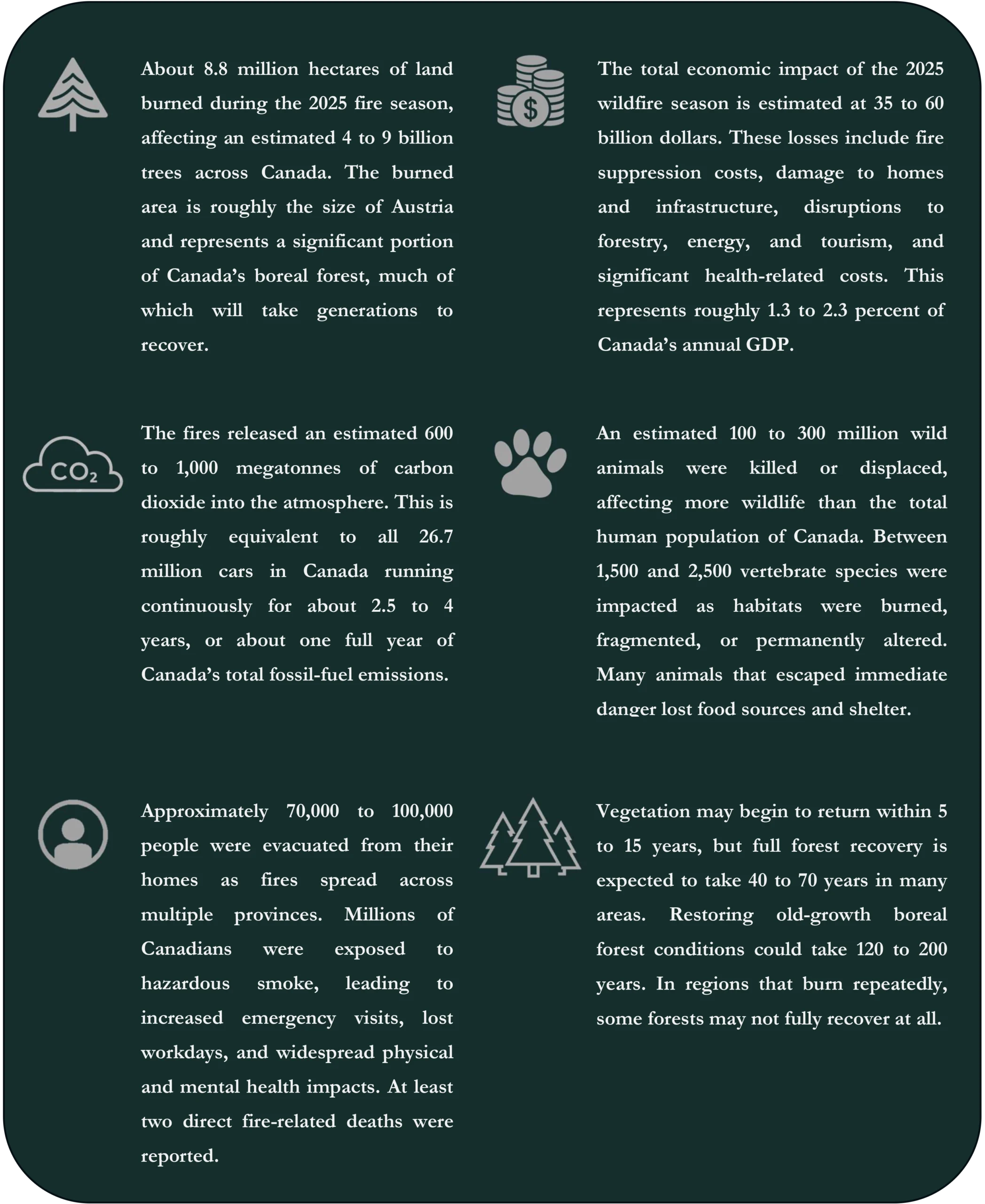
The visualization underscores a critical reality: preventing or substantially mitigating wildfires of this magnitude would fundamentally reshape Canada’s carbon trajectory, reducing the need for emergency expenditures that strain provincial budgets and federal disaster response systems, while simultaneously protecting the ecological integrity of boreal forests that serve as carbon sinks, wildlife habitat, and watershed protection. Moreover, averting catastrophic fire seasons would preserve ecosystem services worth billions annually, from maintaining wildlife population stability and preventing species loss to sustaining forestry industries, protecting critical infrastructure, and avoiding the public health crises triggered by smoke exposure. In a warming climate where fire regimes are accelerating, the prevention and early detection capacity becomes not merely a cost-mitigation strategy but a foundational requirement for maintaining Canada’s economic competitiveness, climate commitments, and environmental stewardship.
Conclusion and Recommendations
Canada’s 2025 wildfire season revealed a hard truth: the nation’s fire management system, stretched to maximum capacity with international support, could only partially contain a catastrophic fire year. Burning 8.78 million hectares across 5,508 fires, this second-worst season on record showed that 10,950 person-weeks of firefighting resources, essentially all available capacity, was insufficient. The crisis exposed a fundamental problem: fires were not starting more frequently (1.07 times average) but burning dramatically larger (2.18 times average area burned). Average fire size doubled from 763 hectares historically to 1,600 hectares in 2025. Traditional fire management approaches based on rapid initial attack face a new reality: fires are now spreading faster than suppression resources can contain them.
This reveals a critical choice. Canada can continue expanding firefighting resources, training more personnel and purchasing more aircraft to respond to ever-larger discovered fires. This path requires unsustainable domestic capacity growth and permanent international dependence. Alternatively, Canada can prevent fires from reaching landscape scale through earlier detection and prediction. Sensenet’s integrated technology offers this prevention pathway.
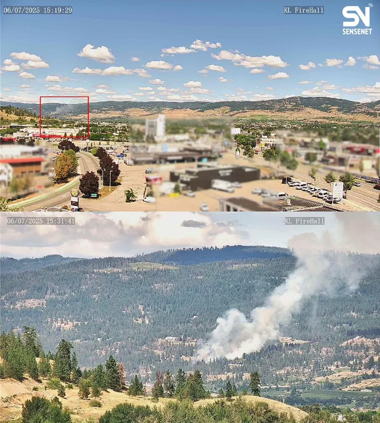
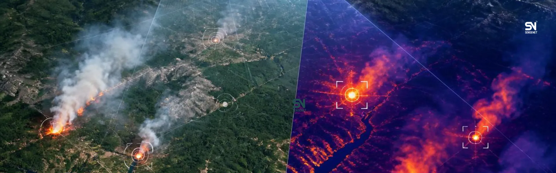
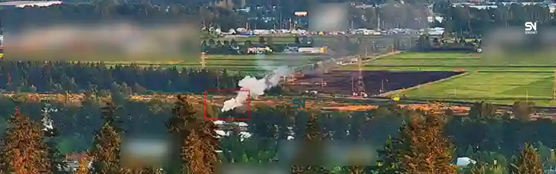
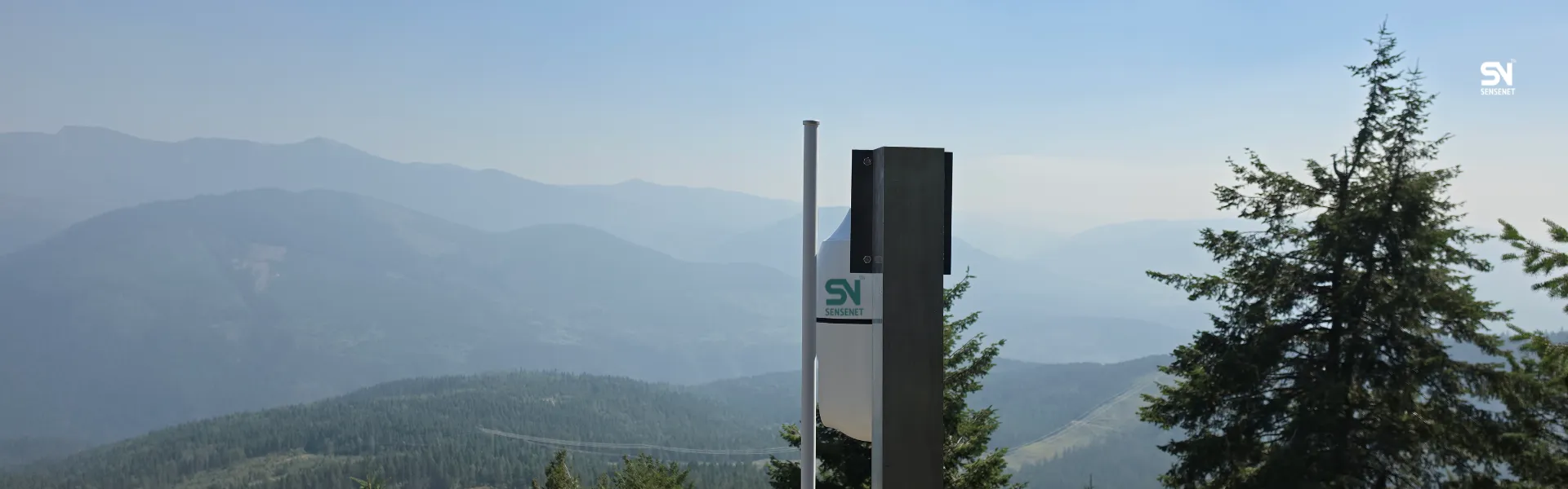
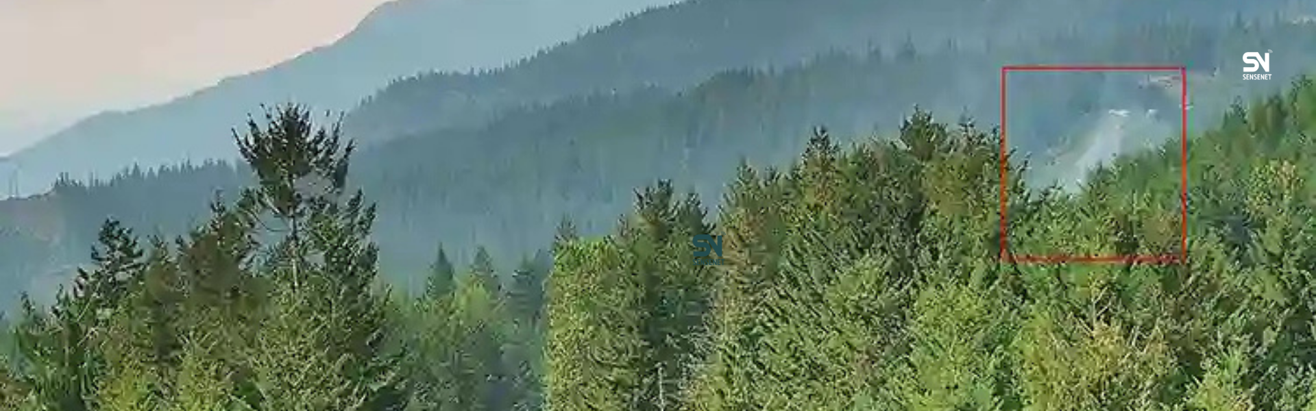
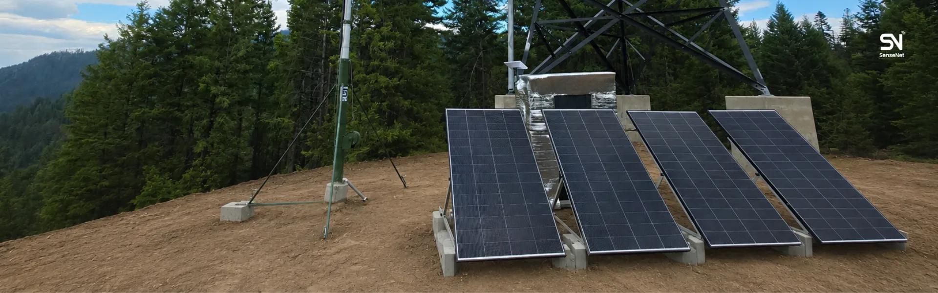
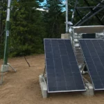
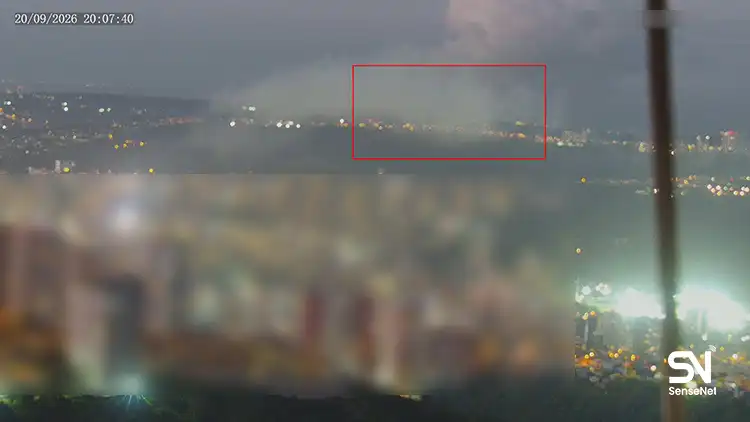
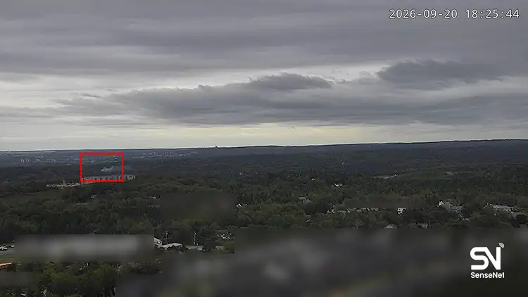
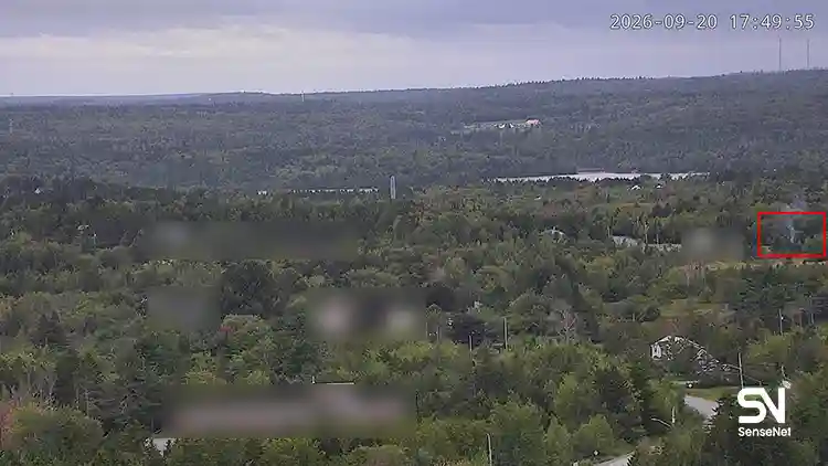
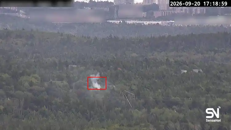
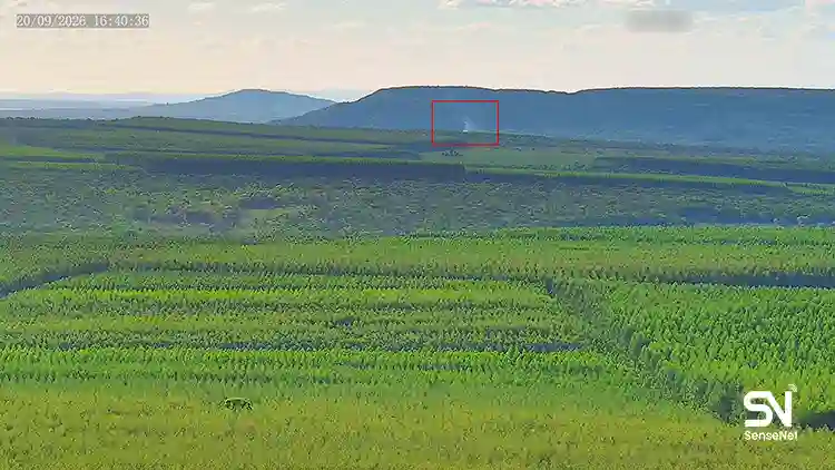
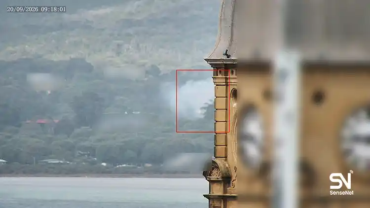
Sensenet’s IoT cameras (Figure 16) can detect fires within minutes of ignition compared to hours or days for traditional discovery. The Vernon, BC pilot program showed this speed prevents 95 percent of detected fires from becoming major blazes (Sensenet). Applied during 2025, such detection could have transformed fires that burned for days undetected in remote Saskatchewan and Manitoba into small, manageable incidents. The economic value of preventing a single landscape-scale fire exceeds the cost of deploying camera networks across multiple provinces. Sensenet’s satellite capabilities complement this detection advantage with fire risk products, fire spread analysis and more (Figure 17).
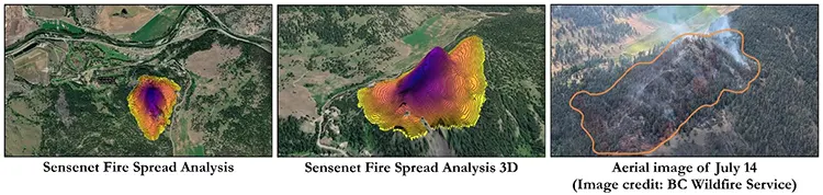
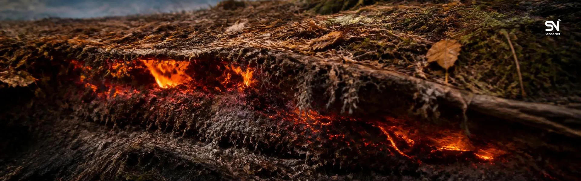
Thermal infrared monitoring could have identified the 49 zombie fires burning underground before they reignited in spring. Satellite fuel moisture mapping at 10-meter resolution would have warned fire managers in April that Saskatchewan and Manitoba were approaching catastrophic conditions, enabling proactive evacuation and resource pre-positioning days earlier than reactive responses allowed. Fire spread modeling using satellite data could have predicted which communities faced imminent threat, enabling targeted rather than area-wide evacuations.
For the prairies where detection delays measured hours or days, three-minute detection represents transformation. For BC’s Prince George Fire Centre where 82 percent of provincial burning occurred, thermal satellite monitoring could have prevented zombie fires. For the Northwest Territories where fires averaged 6,867 hectares due to remote location, camera networks at strategic locations could substantially reduce average fire size by ensuring earlier detection.
The 2025 season demonstrated that crisis response at maximum capacity achieves only partial mitigation. Further progress requires preventing fires from becoming crises. Sensenet’s cameras provide detection speed, satellite monitoring provides risk prediction, and together they enhance situational awareness, enabling the shift from response to prevention that is essential in a warming climate where fire seasons are intensifying and average fire sizes are doubling.
Canada 2025 Fire Season Analysis
- Canada 2025 Fire Season Part 1: Second largest in the past 40 years
- Canada 2025 Fire Season Part 2: The Prairie Epicenter, Saskatchewan and Manitoba
- Canada 2025 Fire Season Part 3: Western Focus, Alberta, British Columbia, and the Northwest Territories
- Canada 2025 Fire Season Part 4: Seasonal Dynamics and 10-Year Comparison
- Canada 2025 Fire Season Part 5: Response Operations and Resource Mobilization
- Canada 2025 Fire Season Part 6: Long-Term Trends and Historical Context