Wildfire Detection from Satellite Images
Satellite images alone cannot show fire; they require an interpreter of data who can recognize the difference between an early warning and a disaster spanning thousands of hectares.
Some assume that as soon as a satellite image is received, an algorithm runs on it and a wildfire warning system is ready, immediately notifying first responders. But the reality is more complex than that.
At SenseNet, we have been working on exactly this issue for years. In this article, we explain both the technical fundamentals of wildfire detection from satellite images and our real experience from field projects, including a project that ran for several years in the city of Vernon, Canada.
Why Satellite-Based Wildfire Detection Has Become Important?
Forest fires are no longer a seasonal, fully predictable phenomenon. With climate change, the fire season has become both longer and more severe. The main problem is that when a fire starts in a remote area, it may take hours or even days before anyone notices it. By that time, a fire that could have been controlled with minimal resources at the start has turned into a widespread crisis.
Remote sensing and satellite imagery exist precisely to fill this gap. Unlike ground cameras or field patrols, which cover only a specific area, a satellite can monitor a vast expanse of land, including regions with no infrastructure at all. It’s important to clarify from the start that satellite images alone cannot lead to fire detection. It is a combination of different capabilities that ultimately makes this goal achievable.
How Satellites Detect Fire?
There are two main approaches to detecting fire from satellite images, and understanding their difference is essential for choosing the right technology.
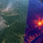
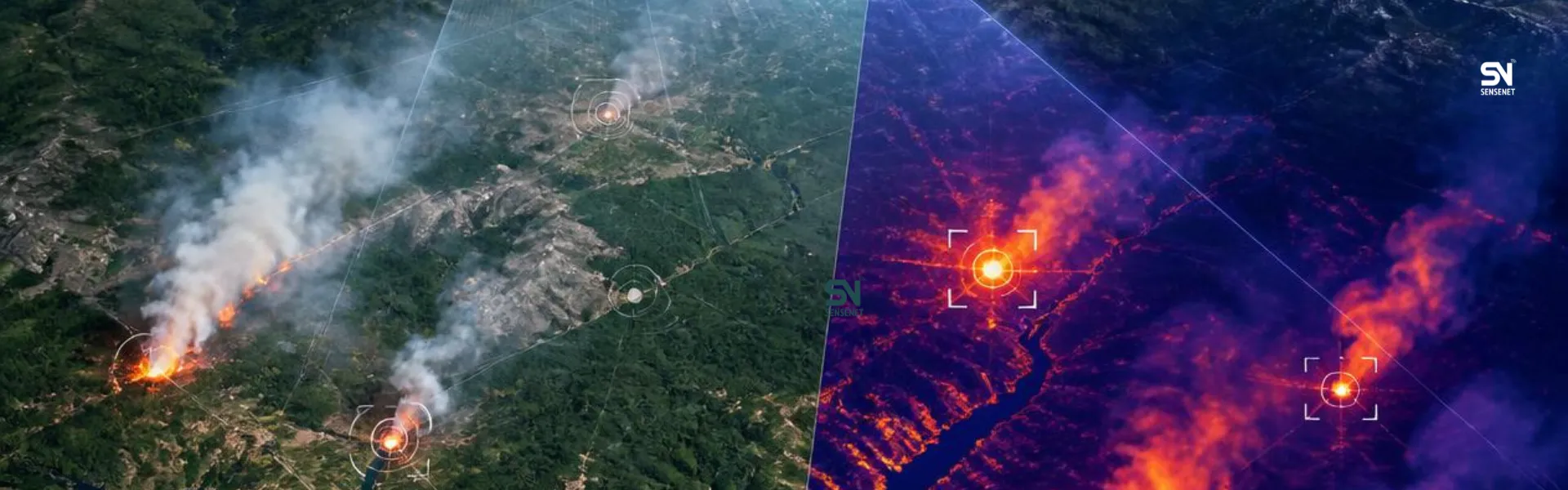
Thermal sensors, such as those on the MODIS and VIIRS satellites, look for hot spots, points where the surface temperature has risen abnormally. These sensors can detect small flames even before smoke becomes visible, provided the viewing angle and cloud cover allow it.
Optical sensors, such as Sentinel-2 and Landsat, use near-infrared and shortwave-infrared bands to record changes in vegetation. An index called NBR (Normalized Burn Ratio) was designed for exactly this purpose: comparing before-and-after fire images to determine the extent and severity of burning.
An important point that is often overlooked is that these two methods complement each other rather than replace one another. Thermal sensors are useful for early detection, while optical sensors are useful for post-fire assessment and estimating the burned area.
SenseNet’s Field Experience: The Vernon Project in Canada
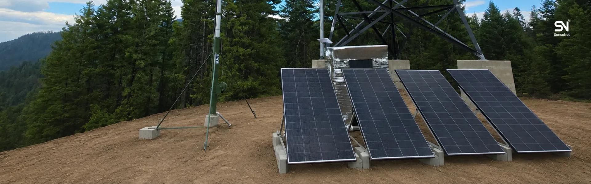
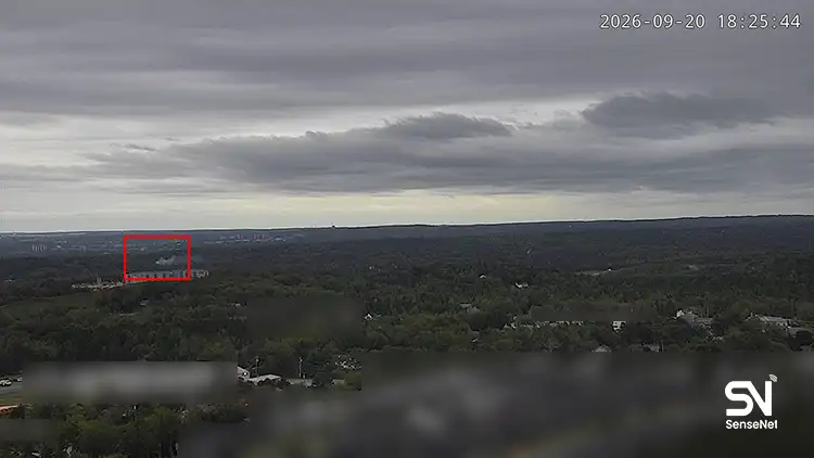
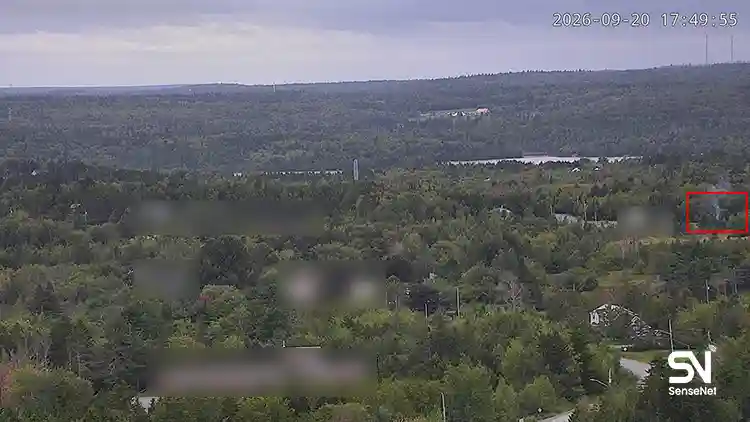
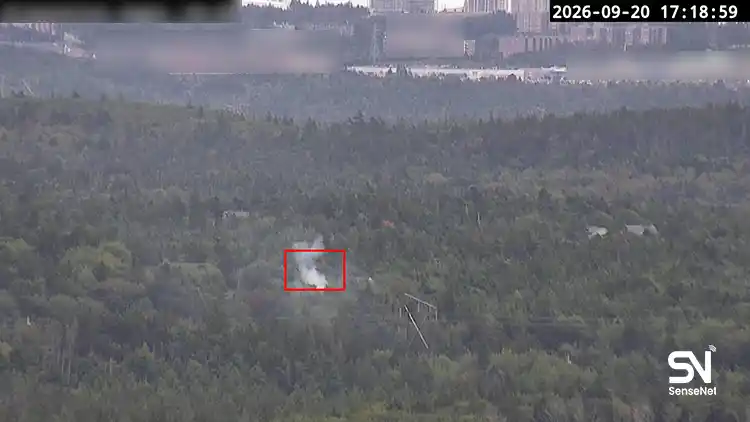
Between 2022 and 2024, SenseNet ran a three-year project in the city of Vernon, Canada, deploying more than 1,500 gas sensors and 100 smart cameras—alongside satellite coverage and weather data—across an area of about 45 million hectares. During this project, 217 fire starts were identified, and all of them were contained before moving past the initial stage; meaning that no large fire occurred anywhere in the covered area. The result of this project was convincing enough that Vernon Fire Rescue Services permanently adopted the system for its own use.
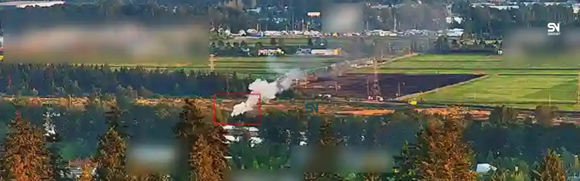
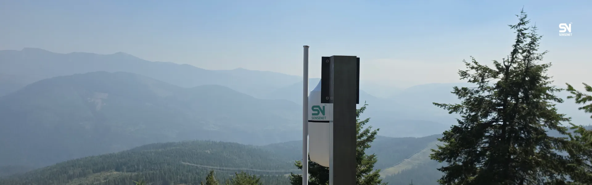
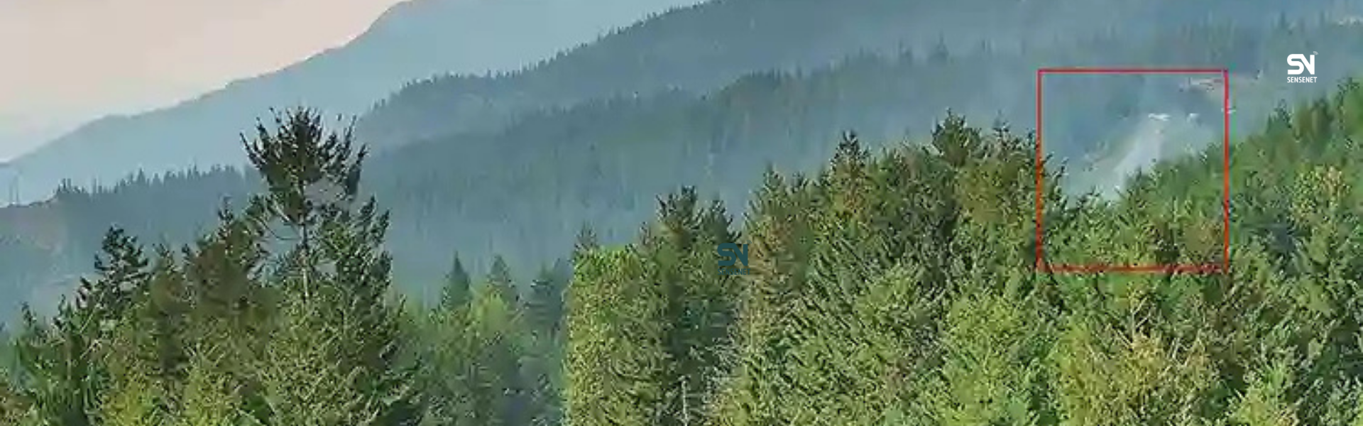
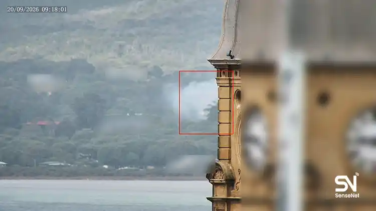
The most important lesson we took from this experience was this: satellite imagery alone is never fast enough. Most Earth-observation satellites, depending on the mission type, pass over a given point only once every few hours to a few days. For a fire that spreads every minute, this time gap is too large. The best results come when satellite data is combined with ground sensors that detect combustion gases even during the smoldering phase, before full flame-up occurs. In this model, the ground sensor issues the initial alert, the smart camera provides visual confirmation, and the satellite shows the overall picture and the spread trend.
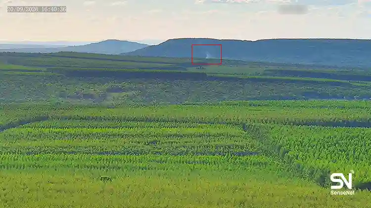
With this combined approach, SenseNet’s system can now detect fire in less than three minutes—often before the first emergency call is placed. The system has detected more than 2,700 fires across various projects in total, and it now covers more than 130 million acres (about 53 million hectares) across Canada, the U.S., Indonesia, Brazil, and Chile.
Three Stages of Application: Before, During, and After a Fire
Many systems focus only on “detecting the moment a fire starts,” but SenseNet’s experience has shown that the use of satellite imagery goes beyond this single moment.
Before an event: By analyzing vegetation density, soil moisture, and topography from satellite data, high-risk area maps can be created. This map helps forest management teams determine where to build firebreaks or carry out prescribed burns.
During an event: Combining satellite data with wind and humidity information predicts the speed and direction of fire spread. This information directly affects decisions on evacuating residential areas and positioning firefighting crews.
After an event: Using spectral indices such as NBR, a detailed map of burned area and severity can be produced within days. This information is essential for damage assessment by insurance companies and for restoration planning.
Real Limitations of This Technology
Any claim that satellites alone solve the entire problem of wildfire detection deserves closer scrutiny. The main limitations are:
- Cloud cover and dense smoke can completely block the view of optical sensors; thermal sensors are also affected to some degree.
- Satellite revisit time—the interval between two consecutive passes over the same point, is still several days for many free satellites like Sentinel; this interval is not sufficient for real-time detection.
- Understory fires, which have not yet reached the upper canopy of the forest, often remain hidden from satellite view.
For this reason, SenseNet has always recommended treating the satellite as one layer of a multi-layered system, not as a final, standalone solution.
Frequently Asked Questions
How long does it take for a satellite to detect a wildfire?
It depends on the sensor type and the satellite’s pass time. Thermal sensors with short revisit times, typically used in commercial services, can issue a warning within minutes to a few hours, but free and public satellites usually have a gap of several hours to a day. For this reason, in SenseNet’s projects, real-time detection is mainly handled by ground sensors and cameras, while satellites are used to confirm and monitor the extent of the fire.
Can a real early-warning system be built using only satellite images?
Based on SenseNet’s years of experience, the answer is no. The best results are achieved when satellite imagery is combined with ground-based data (sensors or cameras). Satellites are highly effective for a wide-area view, but for warnings within a few minutes, ground data is still needed.
What is the difference between thermal indices and vegetation indices like NDVI and NBR?
Thermal indices look for abnormal heat and are useful for detecting the moment of occurrence. NDVI shows the health and density of vegetation and is mostly used for risk assessment (identifying areas with more vegetative fuel). NBR compares before-and-after fire images and determines the extent and severity of burning. Together, these three indices provide a complete picture.
How much does cloud cover and smoke interfere with a satellite seeing a fire?
The effect is significant, especially for optical sensors that operate in the visible spectrum. Radar sensors (SAR), such as Sentinel-1, use radio waves and can see through cloud and smoke, but they are not suitable for direct flame detection; their main use is post-fire damage assessment.
How much does it cost to implement a satellite-based wildfire detection system?
There is no fixed answer to this question, as the cost depends on the size of the area, the type of sensor (free or commercial), and the degree to which ground sensors need to be integrated. Using free satellite data such as Sentinel and Landsat for general monitoring and risk mapping significantly reduces cost; however, if the goal is a warning within a few minutes, investment in ground infrastructure is also necessary.
Conclusion
Wildfire detection from satellite images is a growing and impactful field, but it is not a standalone, flawless solution. SenseNet’s years of field experience, from Canada to regions in South America and Asia, show that the best results are achieved when the satellite’s wide-area view is combined with the real-time precision of ground sensors and smart cameras. For any region planning to design a wildfire monitoring system, the recommendation is to focus on building a multi-layered system from the start, rather than relying on a single technology.
Author and Content Department Manager:
Neda Khanifar
Content Department Manager