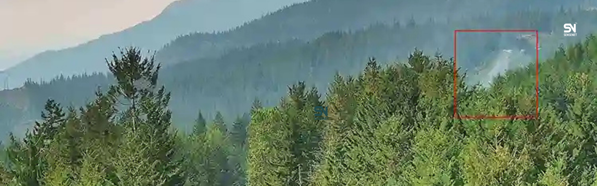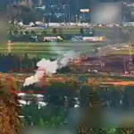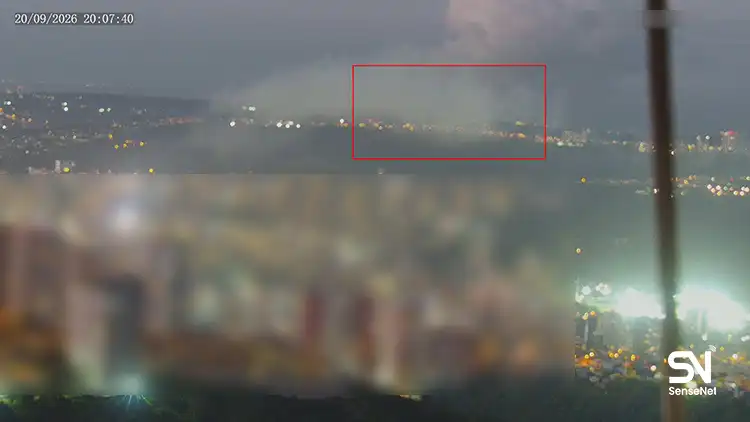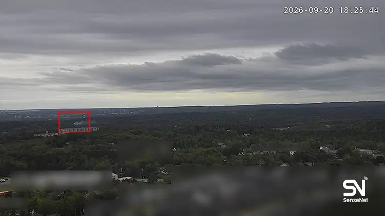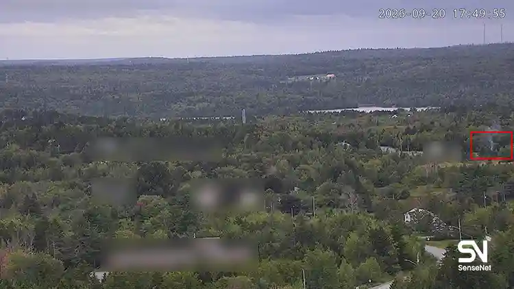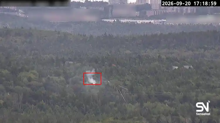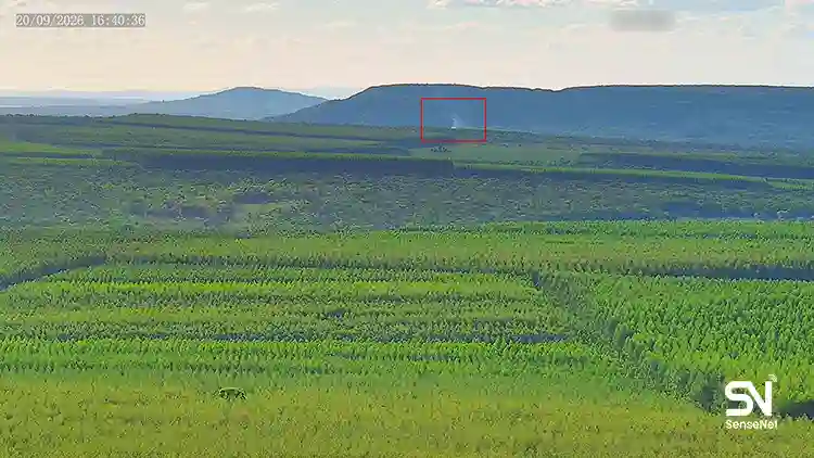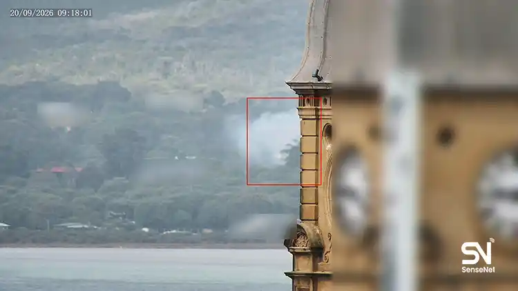
Most fires that turn into massive crises start deep in forests, far from human eyes, cameras, or sensors. That’s why they’re often detected too late, allowing a small spark to grow into a huge, widespread blaze.
The question is: what should be done in such situations? Who should be the first to notice a smoldering fire in remote forest areas, where there are no rangers, no local people, and not even cameras or drones?
This is where satellites come in, along with the images they beam back to Earth.
Satellites hundreds of kilometers above the planet can detect temperature changes of just a few degrees and issue warnings before the fire turns into a catastrophe.
In this article, we’re going to examine the following topics precisely and professionally:
- How do wildfire detection satellites work?
- What kind of images do they send, and how are these images interpreted?
- How accurate are they, and what limitations do they have?
- Why do they sometimes spot fires earlier than humans?
So, if you’re looking for solid information on satellite imagery and its power in early wildfire detection, keep scrolling.
What Exactly Do Forest Wildfire Detection Satellites Do?
Contrary to popular belief, these satellites don’t directly see smoke or flames.
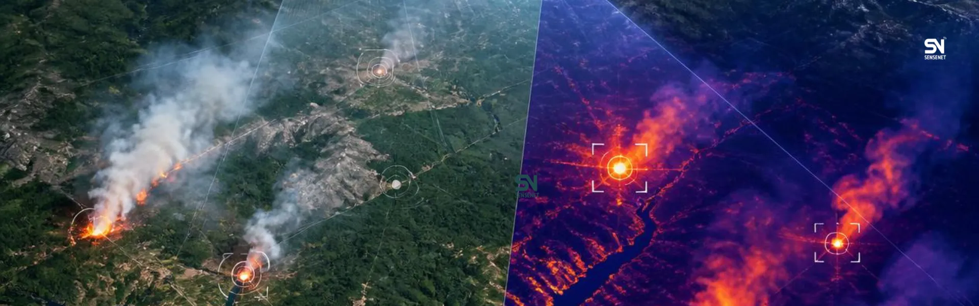
They identify the thermal signature of the fire.
In simple terms:
- Any fire, no matter how small, has a higher temperature than its surroundings and that’s the signal for satellites.
- This temperature difference is recorded in infrared wavelengths.
- Satellites detect this difference as “hot pixels.”
What’s the result?
Detection of fires even in areas with no direct line of sight and no humans nearby. Plus, it makes night-time fire detection much easier.
What Do Satellite Wildfire Images Look Like?
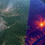
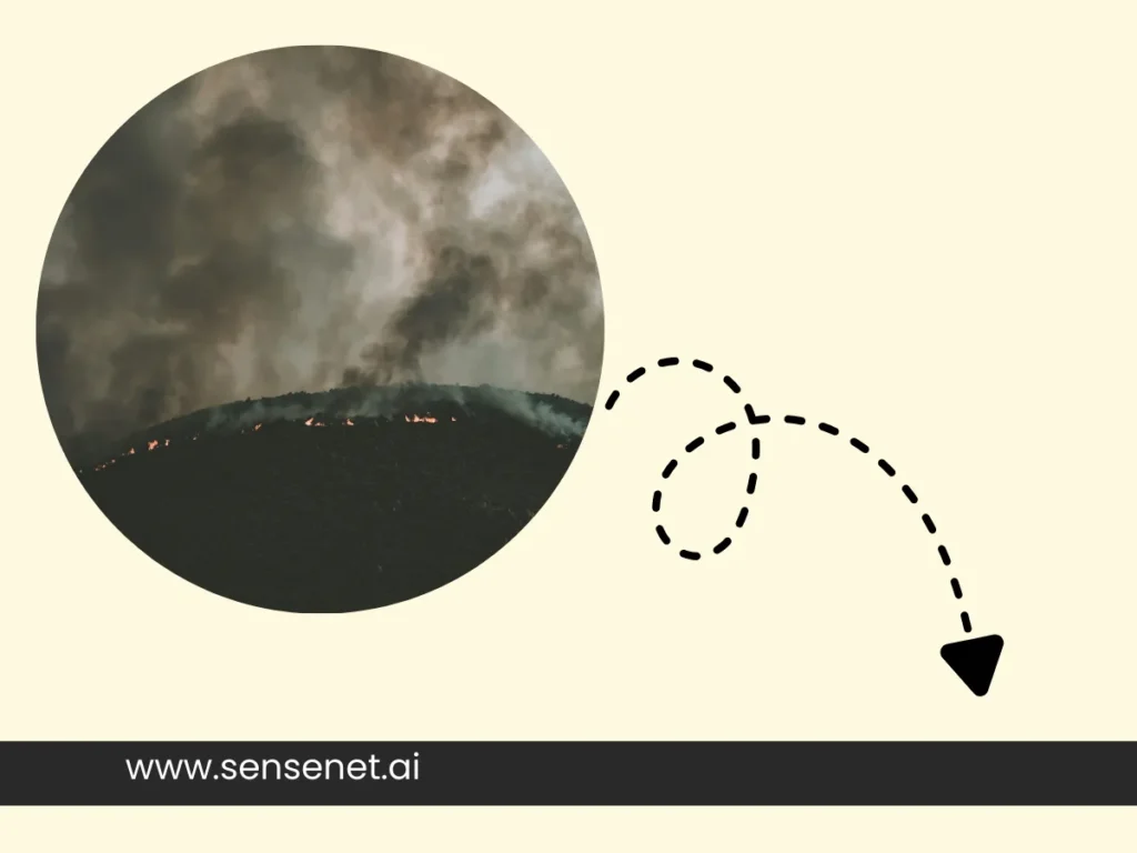
The images received from satellites aren’t like ordinary photos. They’re analysis-oriented and basically not suited for visual archiving. These images provide data that makes fire detection patterns easier.
Key features of wildfire images:
- Red or orange spots: Active fire areas
- Color intensity: Indicates heat level
- Information layers: Time, coordinates, extent
- Pixel resolution: Each pixel may cover several hundred square meters
An important point that’s often overlooked:
Satellites detect fire as “points,” not as actual flames.
The Real Advantages of Satellites in Fire Detection
The question is: with all these sensors, cameras, local reports, and more, do we really need to rely on satellite images and think they’re the best method for early forest wildfire detection? To answer this, consider these advantages:
- Detection in night, fog, and inaccessible areas
- Recording data even when there’s no human report
- Ability to predict fire spread through temporal data analysis
- Legal documentation for investigating causes and damages
- Helping optimally allocate firefighting resources
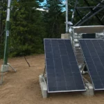
Overall, the best early detection setup is combining satellite images + data from sensors and cameras + AI analysis, exactly the system used in SenseNet‘s suite.
How Accurate Are Satellites? Do They Make Errors?
Yes, and this is one of the most important points that’s usually not addressed enough, highlighting the need for other sources like sensors and cameras:
Common errors:
- Mistaking factories or industrial flares for fires
- Reduced accuracy in very cloudy areas
- Failure to detect very small fires under dense tree cover
But the key point:
Modern systems, by combining data from multiple satellites, cameras, drones, and sensors, have greatly reduced these errors.
Why Are Some Wildfires Reported Late?
Despite using dozens of modern early detection technologies, including satellites, some wildfires are still reported late and turn into crises. Apart from some local or government authorities ignoring the need for early detection systems, other reasons include:
- Satellite revisit time over the area
- Small fire size in initial stages
- Thick cloud cover
- Spatial resolution limitations of sensors
That’s why combining satellites with:
- Drones
- Ground observation
- Artificial intelligence
Has become the new standard in crisis management.
What Does the Future Hold for Wildfire Detection?
The question here is: what future can we envision for early forest wildfire detection? Can technology prevent these massive crises? In general, we can imagine the following:
- Automatic image analysis with machine learning
- Predicting fire paths before spread
- Reducing alert time from hours to minutes
- Connecting data to urban crisis management systems
In fact, a future is coming where satellites not only see the fire but also help make decisions.
Final Summary: Why Are Satellites Vital?
Forest wildfire detection satellites aren’t just tools; they’re the first line of defense for Earth’s natural resources.
In a world where:
- Climate change is more intense
- Forests are more vulnerable
- Rapid response is critical
These satellites act as eyes that spot danger earlier than humans. So, we can’t easily overlook their impact.