Rapid Response Planning After Early Wildfire Detection
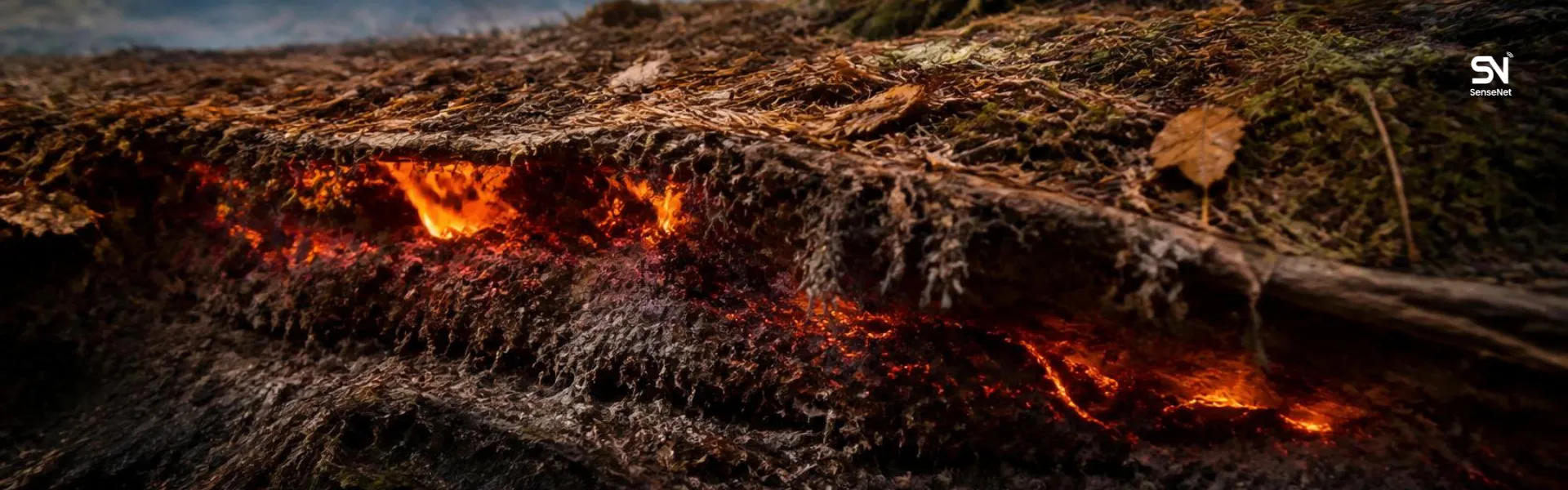
If a wildfire can be detected within the first few minutes after ignition, there is a critical opportunity to contain it before it spreads. Many large-scale forest fires begin with something as small as a spark or a small flame. A quick review of wildfire incidents over the past decade clearly shows how often massive fires originate from small, seemingly insignificant ignition sources.
When a rapid response follows early detection, the situation can often be controlled before it escalates. That is why in modern natural resource management, early detection is only one part of the equation. The more crucial part is having a clear, operational plan for rapid response after a fire is first detected.
In many wildfire management projects, the main focus is placed on detection technologies such as smart cameras, smoke sensors, or satellite monitoring. However, without a well‑designed operational response plan, even the most advanced detection systems will have limited impact. This article explores practical and science‑based approaches to planning rapid response after early wildfire detection in forest environments.
The Importance of the “Golden Response Window”
In wildfire science, a concept known as the Golden Response Window is widely discussed. This term refers to the short period during which a fire is still small enough to be controlled with limited resources.
Research conducted by wildfire management agencies in the United States, Canada, and Australia shows that if a fire is detected and suppression efforts begin within 20 to 30 minutes, the probability of it developing into a large-scale wildfire drops dramatically.
For this reason, rapid response systems must be designed so that the time between detection and operational action is as short as possible.
Designing a Clear Response Chain
One common issue in many fire monitoring systems is that alerts are generated, but there is no clearly defined pathway for what happens next.
Professional wildfire management systems rely on a predefined Response Chain, which typically includes:
- Alert verification
- Assessment of fire location and intensity
- Allocation of initial resources
- Dispatch of rapid response teams
- Situation updates to the command center
This chain must be defined long before any incident occurs so that no critical time is lost in decision‑making during real emergencies.
Fast Alert Verification Without Losing Time
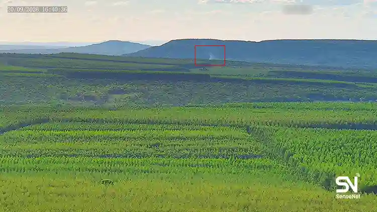
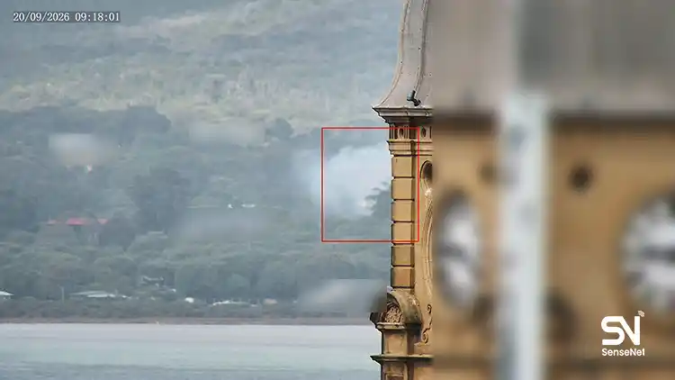
False alarms are one of the operational challenges of wildfire detection systems. Fog, dust, or smoke from human activities may sometimes be misidentified as signs of a fire.
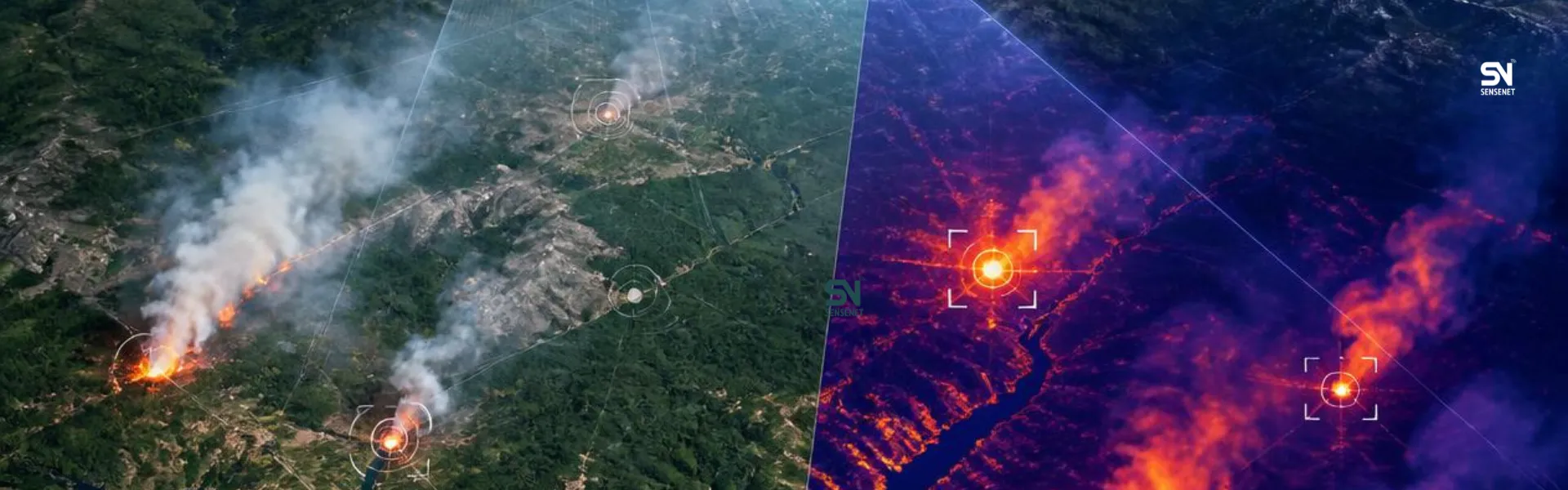
Advanced monitoring systems often verify alerts by combining multiple data sources:
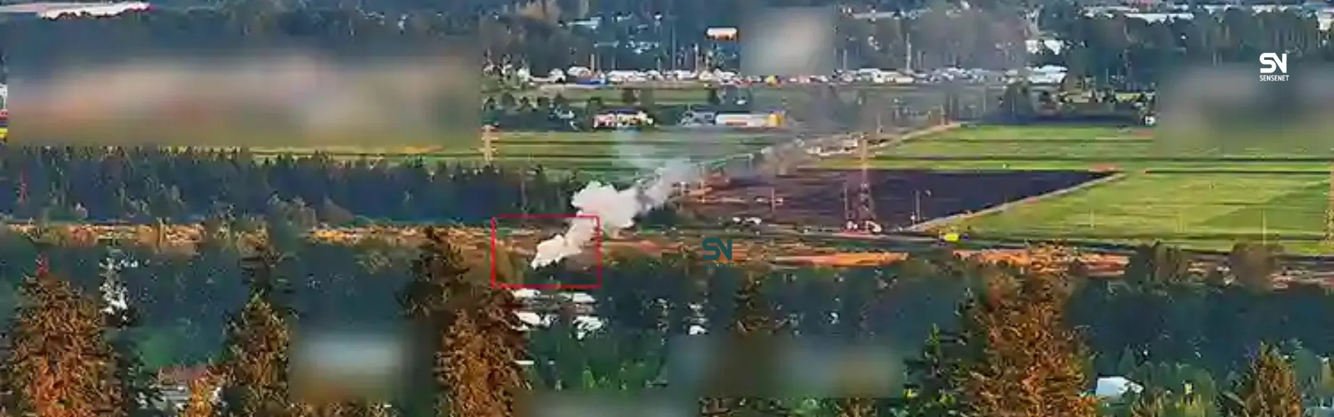
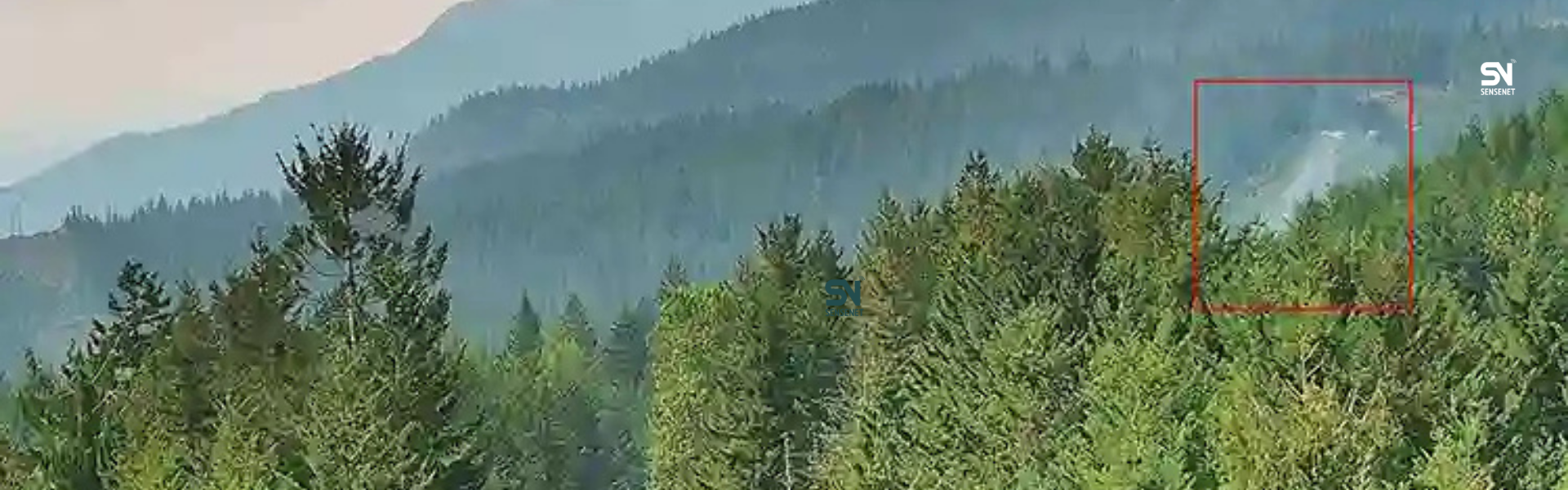
- AI smoke detection cameras
- Temperature or smoke particle sensors
- Near‑real‑time satellite imagery
- Visual confirmation from observation towers
A lesser‑known technique used in some national parks involves wind direction analysis. If the observed smoke column does not align with the local wind pattern, the likelihood of a false alert increases.
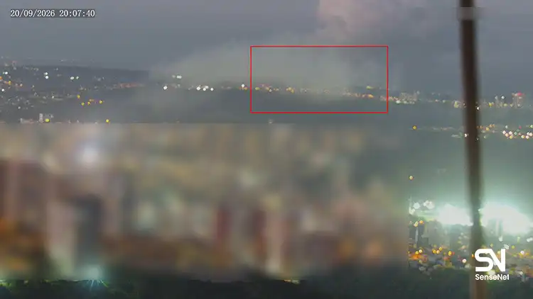
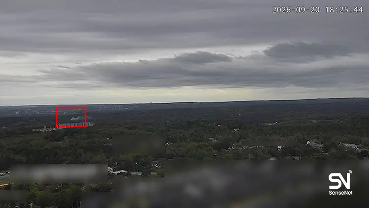
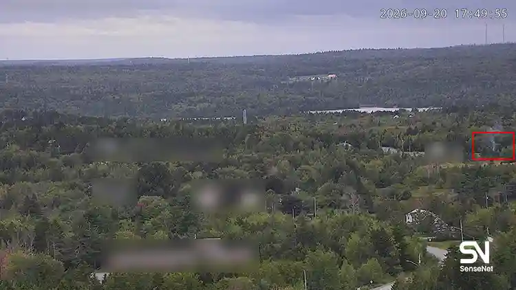
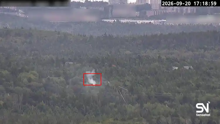
In advanced systems such as SenseNet, each smoke pattern is analyzed with a specific “smoke DNA” signature, helping minimize false alarms and improve detection reliability.
Deploying Initial Attack Teams
Wildfire management agencies often rely on specialized units known as Initial Attack Teams. Their mission is to reach the fire location as quickly as possible and suppress it before it spreads.
Unlike large firefighting units that respond to major fires, these teams are designed for speed and mobility. They typically consist of three to six members equipped with lightweight tools.
Their effectiveness depends on two critical factors: speed and team coordination.
Common equipment used by these teams includes:
- Portable water pumps
- Backpack water pumps
- Hand tools such as Pulaski tools and fire rakes
- Rapid fireline construction tools
Because these teams are small and highly mobile, they can often reach fire sites much faster than large response units. This makes them extremely effective during the early stages of a wildfire.
Geographic Accessibility Analysis Before Fires Occur
One factor that is often overlooked in wildfire response planning is accessibility analysis before a fire ever starts.
Many forest fires ignite in remote locations where ground access is difficult.
Advanced wildfire planning increasingly relies on GIS‑based analysis to evaluate:
- Travel time to different forest areas
- Terrain slope and mobility limitations
- Conditions of forest roads
- Distance from firefighting stations
These analyses allow planners to develop response time maps, which show how long it would take response teams to reach different areas of the forest.
Such information is extremely valuable for determining the optimal locations for rapid response units.
Using Drones in Initial Fire Response
Drones have become an increasingly important tool in modern wildfire management. During the early response stage, they can provide critical situational awareness.
Practical applications of drones include:
- Estimating the actual size of the fire
- Identifying the direction of fire spread
- Detecting safe access routes for teams
- Monitoring hot spots surrounding the fire
Thermal imaging drones are particularly valuable because they can detect heat signatures even through thick smoke.
Developing Pre‑Defined Operational Scenarios
In professional wildfire management, response strategies are rarely improvised. Instead, they are often based on pre‑defined operational scenarios.
These scenarios are developed based on factors such as:
- Initial fire size
- Vegetation type
- Wind speed
- Relative humidity
For example, a fire starting in dry grasslands with strong winds requires a completely different response strategy than one starting in a dense, humid forest environment.
Pre‑planned scenarios significantly accelerate decision‑making during emergency situations.
Coordinating Communication Between Teams
Communication breakdown is a common challenge in wildfire response operations. Forested and mountainous regions often suffer from poor cellular coverage.
For this reason, many wildfire management systems rely on dedicated communication infrastructure, such as:
- VHF forest radios
- Mesh communication networks
- Portable satellite communication systems
These networks enable continuous communication between field teams, command centers, and aerial monitoring units.
The Role of Weather Data in Rapid Response
Fire behavior is highly sensitive to weather conditions. Even a small change in wind speed or direction can dramatically alter the spread of a wildfire.
For this reason, local meteorological data play a vital role in rapid response operations.
Some monitoring systems use automated weather stations inside forest areas to collect real‑time data such as:
- Wind speed
- Wind direction
- Relative humidity
- Temperature
These data help operational teams choose the most effective tactics for suppressing the fire.
Post‑Incident Performance Evaluation
One of the most valuable yet often overlooked parts of wildfire management is post‑incident analysis.
After each fire is contained, the entire response chain should be evaluated.
Key questions typically include:
- How long did it take for teams to reach the site after detection?
- Was the initial alert accurate?
- Were access routes sufficient?
- What equipment or resources were lacking?
These evaluations provide essential insights that help improve response strategies for future incidents.
Final Thoughts
Early wildfire detection is only the first step in effective wildfire management. What truly prevents a small ignition from becoming a large‑scale disaster is a well‑planned rapid response system.
Combining detection technologies, mobile response teams, geographic analysis, drone monitoring, reliable communication networks, and real‑time weather data can dramatically reduce the time between detection and suppression.
The most successful wildfire management systems are those that not only detect fires quickly but also respond effectively during the critical first minutes when a fire is still manageable.