Predicting Forest Fires
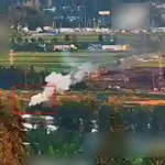
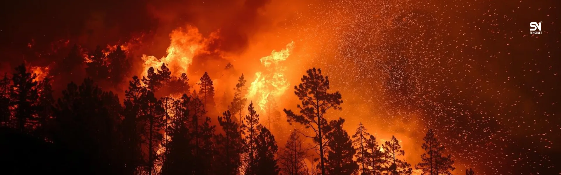
As we approach the summer season, it won’t take long before headlines are once again filled with news such as: forest fires in Canada; thousands of hectares of forests burned; firefighting operations continue, yet forests are still burning…
Such disasters can largely be avoided, and major damage can be prevented. Forest fires are, to a great extent, predictable, and by relying on intelligent predictive models, we can find solutions to prevent their occurrence.
In this article, we take a journey into the world of these predictive models and explore how technology can help us protect nature.
Why Is Predicting Forest Fires Vital?
Wildfires are complex phenomena influenced by multiple factors such as weather conditions (temperature, humidity, wind), vegetation type (dryness and flammability of plants), regional topography, and human activities (intentional or accidental). Early prediction of these events offers numerous benefits:
- Reducing human and financial losses: Enabling timely evacuation and protecting lives and property.
- Environmental protection: Preventing the destruction of biodiversity, forests, and rangelands.
- Resource management: Optimizing the allocation of firefighting resources and avoiding waste.
- Reducing air pollution: Preventing the release of massive amounts of smoke and harmful particles caused by fires.
Given these advantages, it is worth examining which early forest fire prediction models are currently available.
Forest Fire Prediction Models
Forest fire prediction models are complex systems that analyze vast amounts of data to estimate the likelihood and intensity of fires in different regions. These models typically rely on a combination of the following data sources:
- Weather Data: Temperature, relative humidity, wind speed and direction, and precipitation. These models use both real-time and historical data from weather stations and satellites.
- Example: Research shows that even a 1°C increase in temperature combined with a 10% decrease in humidity can significantly raise the risk of forest fires.
- Vegetation Data: Type of vegetation (coniferous forests, broadleaf forests, and grasslands), vegetation dryness (measured using indices such as NDVI, the Normalized Difference Vegetation Index), and vegetation density.
- Real-world example: Pine forests, due to their high resin content, are more flammable than broadleaf forests. This is why Canadian forests are considered among the most fire-prone in the world.
- Topographic Data: Slope, slope aspect, and elevation. Fire spreads faster on steep slopes.
- Historical Fire Data: Information about the time, location, cause, and intensity of past fires. These data help models identify recurring patterns.
- Human Activity Data: Proximity to roads, residential areas, agricultural zones, and even data related to peak visitation times in forested areas.
How Do Forest Fire Prediction Models Work?
These models use various algorithms, including machine learning (ML) and artificial intelligence (AI), such as:
- Logistic Regression: To estimate the probability of fire occurrence.
- Decision Trees and Random Forests: To classify high-risk conditions.
- Neural Networks and Deep Learning: To analyze complex patterns and identify nonlinear relationships among multiple factors.
- Example: Deep learning–based models can analyze satellite imagery and sensor data to identify hotspots with high accuracy.
Emerging Technologies in Early Forest Fire Prediction and Detection
Beyond traditional statistical models, new technologies play an increasingly important role in early wildfire prediction and detection:
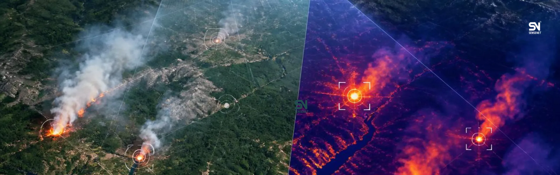
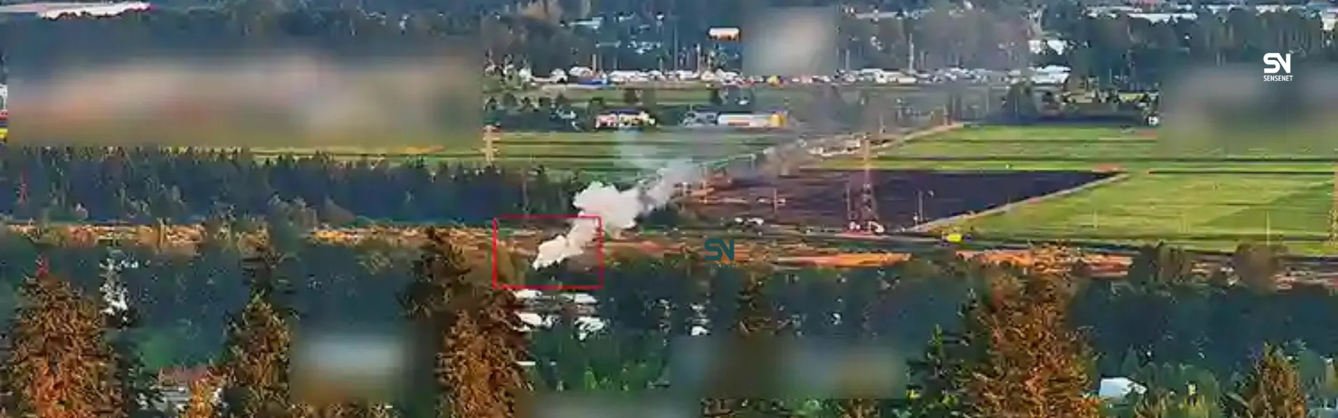
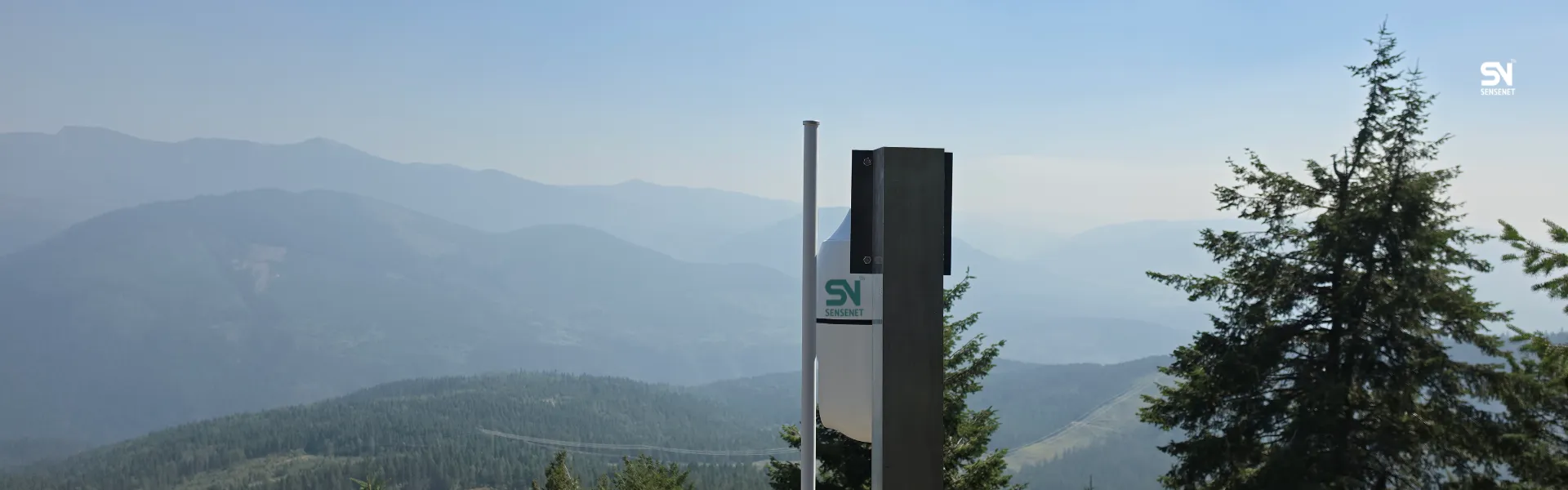
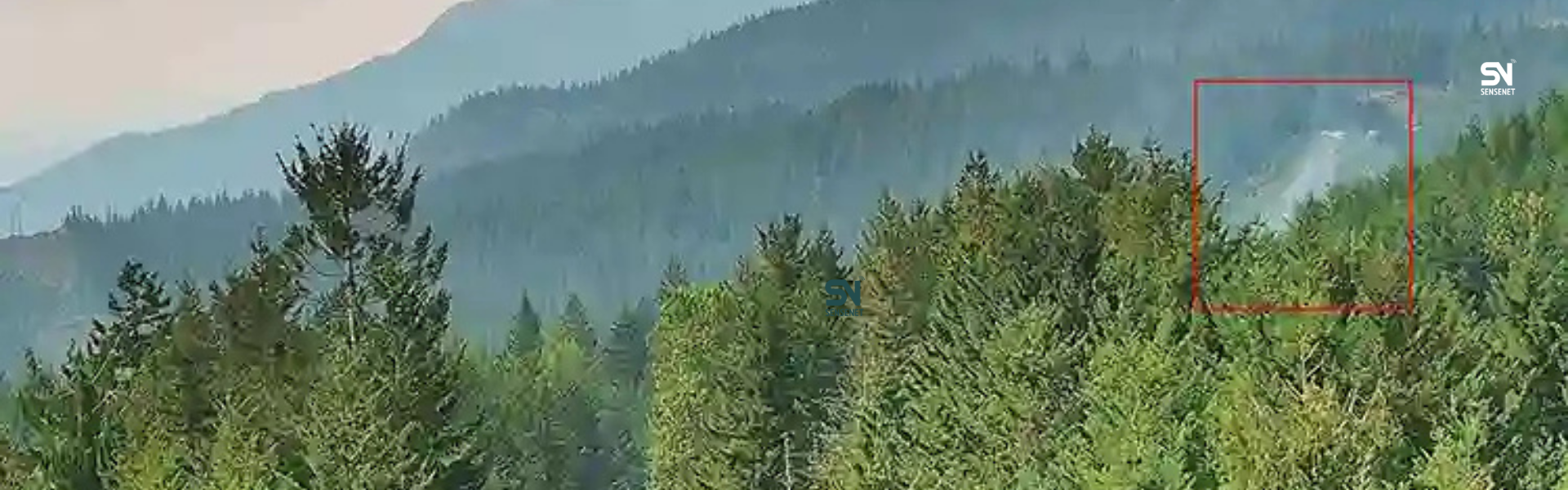
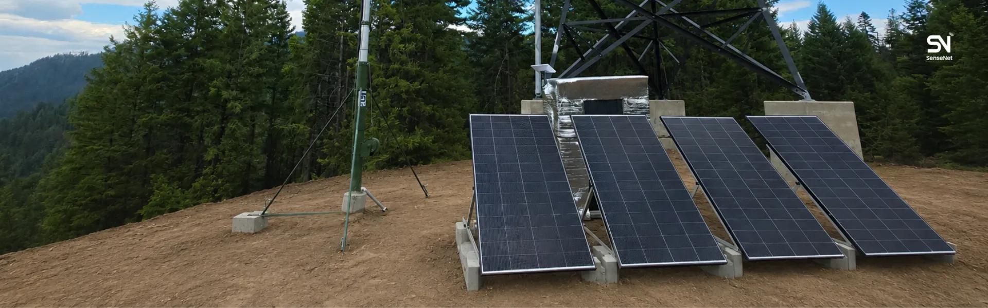
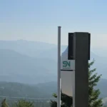
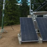
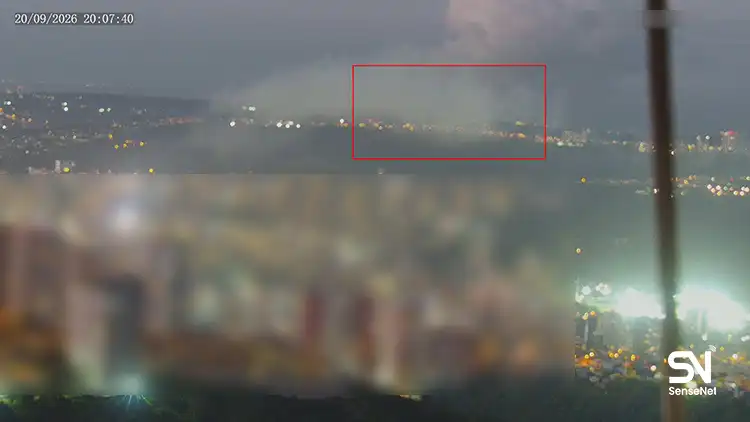
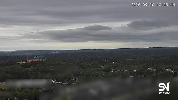
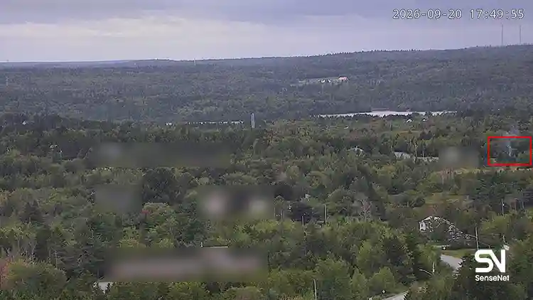
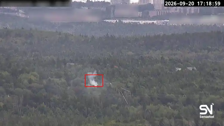
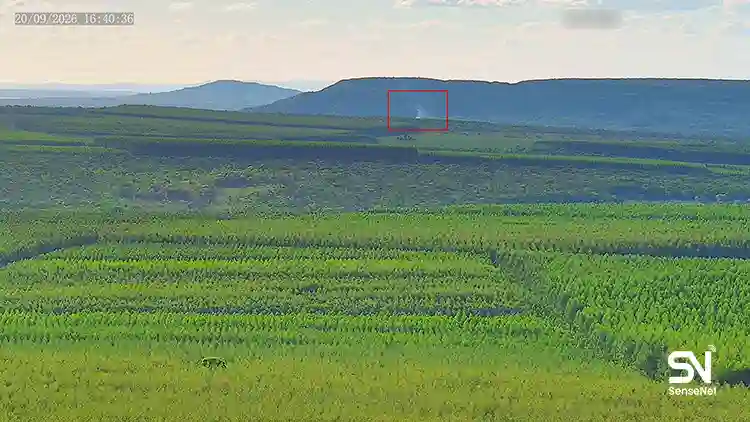
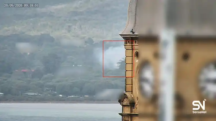
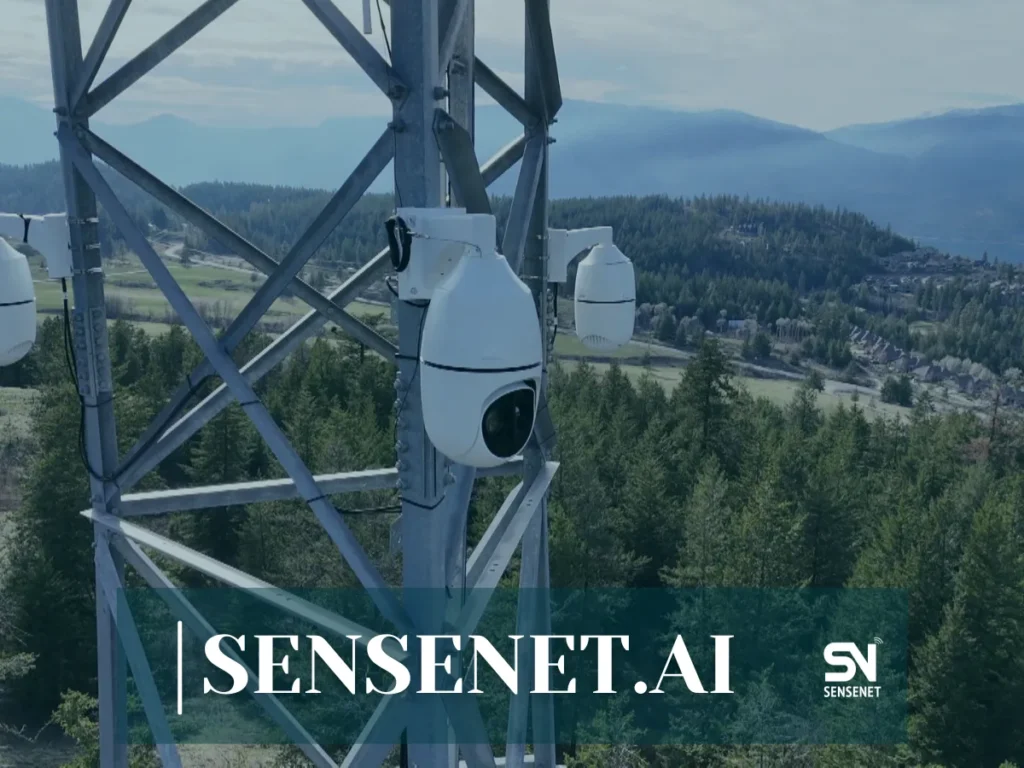
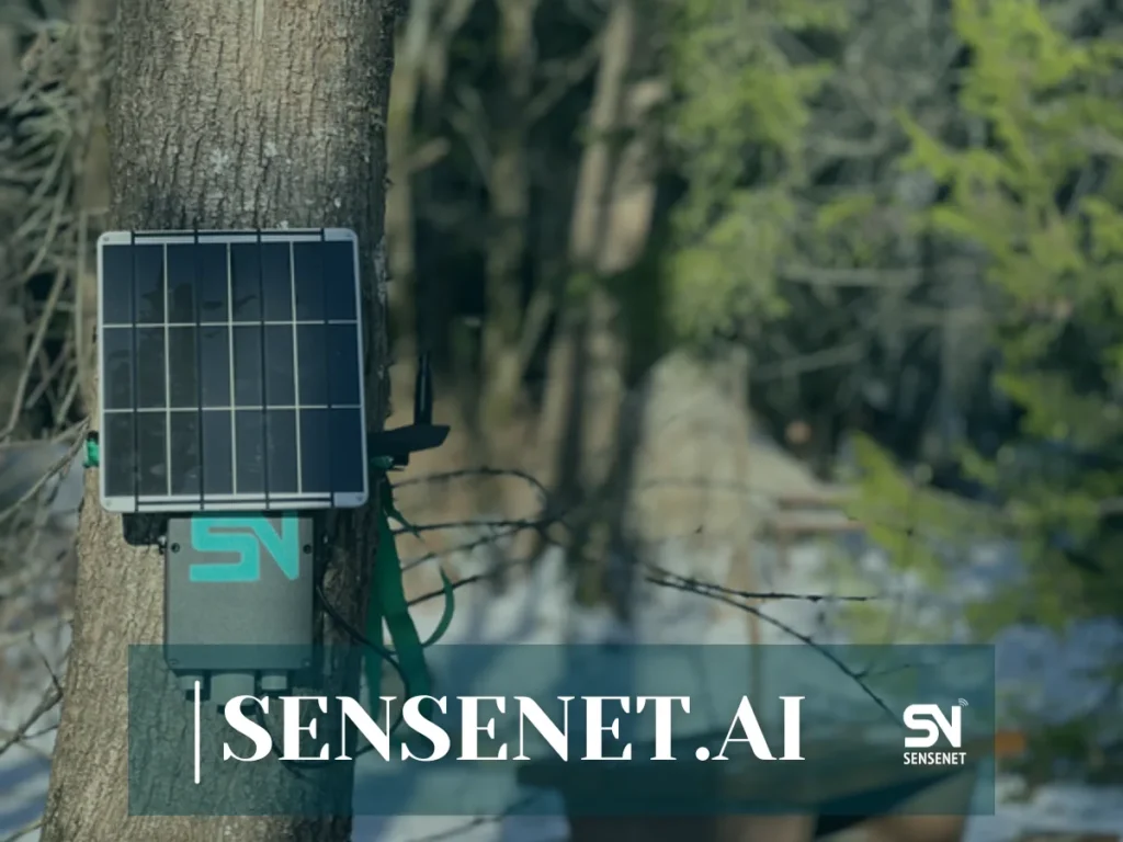
- Internet of Things (IoT) Sensors: Large-scale sensor networks that measure temperature, humidity, smoke, and flammable gases in real time within forests and transmit data to control centers. Companies like SenseNet, using wireless sensors, satellite imagery, and fire-detection cameras, offer comprehensive early-detection systems to local communities.
- Drones and Unmanned Aerial Vehicles (UAVs): Equipped with thermal and multispectral cameras, drones can monitor large areas and detect hotspots or smoke even before they are visible to human observers. In Canada and the United States, various drones are used for patrols and early fire detection. Most are operated by fire departments, though some private companies also provide such services.
- Satellites and Remote Sensing: Satellites with advanced sensors can monitor vegetation changes, temperature variations, and hotspots on a large scale.
- Real-world example: NASA’s MODIS and VIIRS satellites continuously transmit global data on hotspots and forest fires.
- Artificial Intelligence and Image Analysis: AI algorithms analyze satellite and drone imagery to detect early signs of fire with high precision.
Challenges and the Future of Forest Fire Prediction
Despite significant progress, several challenges remain in fully implementing these systems:
- Model accuracy: Unpredictable factors (such as sudden lightning strikes) can still cause prediction errors. One of the biggest current challenges is false alarms, although systems like SenseNet have worked to improve accuracy and minimize false alarms.
- Access to high-quality data: Continuous and accurate data collection from vast and remote forest areas is difficult, which increases the importance of satellite imagery.
- Implementation costs: Developing and maintaining the necessary infrastructure (sensors, satellites, data processing centers) is expensive, and many local communities or facilities near forests may not be able to afford these costs.
- System integration: Coordinating data and outputs from different models and integrating them with emergency management systems can be challenging.
What Does the Future Hold?
The future belongs to integrated and intelligent systems that combine diverse data sources (weather, remote sensing, ground sensors, and citizen-reported information) and leverage more advanced algorithms to deliver ultra-early warnings with high accuracy. Moreover, shifting the focus from merely predicting fire occurrence to predicting fire behavior (fire behavior modeling) will help emergency responders adopt more effective strategies to contain fires.
Conclusion
Forest fire prediction models are powerful tools in our fight against one of the greatest environmental threats of our time. By investing in these technologies and using data intelligently, we can take a major step toward protecting forests, reducing damage, and ensuring a safer and greener future for generations to come. Collaboration among scientists, government agencies, and technology experts is the key to success on this path.