Fuel Moisture and Wildfire Risk
Fuel Moisture Content (FMC) is a key variable in wildfire risk assessment. It helps specialists understand how readily vegetation can ignite and how it may contribute to fire persistence and spread once a fire starts.
Fuel moisture does not simply reflect the weather on a particular day. It is shaped by several interacting factors, including vegetation type, plant physiology, previous rainfall, air temperature, relative humidity, solar radiation, and soil conditions.
Understanding these differences is essential when assessing wildfire risk. The following sections examine how fuel moisture works, how it is measured, and how it can inform operational decisions.
1. What Is Fuel Moisture Content?
In wildfire management, fuel refers to any combustible material that can contribute to the ignition, persistence, or spread of a fire. This includes dry grass, leaves, pine needles, branches, shrubs, dead trees, and organic material accumulated on the forest floor.
Fuel Moisture Content describes the amount of water held within these materials. It is usually expressed as a percentage of the fuel’s dry weight:
[
FMC(%)=\frac{W_{wet}-W_{dry}}{W_{dry}}\times100
]
Where:
- (W_{wet}): the weight of the sample before drying
- (W_{dry}): the weight of the same sample after it has been completely dried
One important detail is that Fuel Moisture Content can exceed 100%. If the water in a plant sample weighs twice as much as its dry matter, its FMC is 200%. The percentage represents water weight relative to dry fuel weight, not the proportion of water in the sample’s total weight.
This distinction matters when interpreting and comparing measurements. FMC values can be misleading if the calculation method, vegetation type, and condition of the sample are not taken into account.
2. Why Should Live and Dead Fuel Moisture Be Assessed Separately?
A common mistake in wildfire risk assessment is treating all vegetation as one uniform fuel source. Live and dead fuels behave differently. They absorb and lose moisture through different processes, respond to environmental conditions at different rates, and contribute to fire spread in different ways.
Dead Fuel Moisture
Dead fuels include dry leaves, cured grass, fallen branches, and plant debris on the ground. Since these materials no longer have an active system for transporting water, their moisture content is largely controlled by surrounding environmental conditions.
The main factors affecting dead fuel moisture include:
- Relative humidity
- Air temperature
- Solar radiation
- Wind speed and duration
- Rainfall and the length of time vegetation remains wet
Fuel size is particularly important. Leaves, dry grass, and very small branches have a large surface area relative to their volume. They can lose moisture quickly, sometimes within a few hours. Changes in relative humidity during the day can therefore affect how readily these materials ignite.
Larger branches, logs, and other woody debris take longer to dry. They respond less quickly to short-term weather changes, although the moisture accumulated in these materials can influence how long a fire continues to burn and how much fuel it consumes.
Wildfire assessment systems commonly classify dead fuels by their time-lag categories. Time lag refers to the time required for a fuel particle to reach approximately 63% of the difference between its initial moisture content and its equilibrium moisture content under the surrounding conditions.
| Dead fuel category | Typical materials and characteristics |
| 1-hour | Dry grass, leaves, and very fine fuels that respond quickly to weather changes |
| 10-hour | Small branches and materials with a larger diameter |
| 100-hour | Medium-sized branches and woody debris |
| 1,000-hour | Large woody materials that respond much more slowly to changes in moisture |
This classification helps explain why a brief rainfall may wet leaves and dry grass temporarily without significantly increasing the moisture content of deeper organic layers or larger pieces of wood.
Live Fuel Moisture
Live fuel moisture is more complex. The amount of water in leaves, stems, and other plant tissues depends on weather conditions as well as the plant’s physiological state and the amount of water its roots can access.
Plant species, growth stage, season, soil conditions, and the duration of water stress all affect this measurement.
For example, during a hot, dry period, surface grasses may dry out quickly while trees and woody shrubs retain some of their moisture. During a prolonged drought, however, their stored moisture can also decline.
Green vegetation is not necessarily resistant to fire. A plant may still look green even after the moisture content of its tissues has fallen.
Annual grasses and other herbaceous vegetation undergo another important change as the growing season progresses. As they dry, some of the live fuel gradually becomes dead fuel. This transition can noticeably alter the way a fire behaves.
For this reason, fire behavior models should not automatically use the same moisture value for grasses, woody vegetation, and conifer foliage. Each fuel type can respond differently to changing conditions.
3. How Does Lower Fuel Moisture Increase Wildfire Risk?
When wet vegetation ignites, some of the initial heat energy must be used to evaporate the water it contains. While this process continues, less energy is available to raise the fuel’s temperature toward the point of ignition.
As fuel moisture decreases, less energy is needed to evaporate water. The material can therefore reach ignition temperature more quickly.
This has three main effects.
Greater Ignition Potential
When fine surface fuels dry out, ignition sources such as sparks, embers, and contact with hot materials are more likely to start a fire. Dry fuel alone does not cause a wildfire, however. An ignition source is still required.
Greater Potential for Fire Spread
Drier fuels can enter the combustion process more easily. When combustible materials form a continuous layer across the ground, fire can move more readily from one part of the vegetation to another.
Changes in Fire Intensity and Behavior
Lower fuel moisture can affect combustion intensity, the amount of energy released, and the likelihood that different fuel layers will become involved in a fire. Under suitable conditions, reduced moisture in live canopy fuels can also increase the potential for crown fire initiation.
One technical distinction is important: low fuel moisture does not automatically mean that a fire will spread quickly. Rate of spread also depends on wind speed and direction, terrain slope, fuel structure and continuity, and the characteristics of the vegetation itself.
Fuel moisture is therefore an important input for predicting fire behavior, but it cannot be used on its own to describe how a fire will develop.
4. Why Is Weather Data Not Enough to Assess Fuel Moisture?
One of the challenges in wildfire management is the difference between atmospheric conditions and the actual moisture content of vegetation.
Weather stations measure variables such as air temperature, relative humidity, rainfall, and wind speed. These measurements are valuable for estimating changes in fuel moisture, but they do not directly show how much water leaves, grasses, or branches contain at a specific location in a forest.
Consider two areas:
- In the first area, recent rainfall has increased moisture in the soil and vegetation.
- In the second, little rain has fallen and the vegetation is experiencing water stress.
Even if both areas have the same air temperature and relative humidity at a particular time, their fuel moisture conditions may be very different.
Rainfall alone also provides an incomplete picture. The duration and intensity of precipitation, vegetation type, water infiltration into the soil, and conditions after rainfall all influence how long its effects last.
A reliable assessment of wildfire risk needs to distinguish between three sets of information:
- Weather conditions: What conditions are promoting fuel drying or wetting?
- Fuel moisture: How much water do combustible materials currently contain?
- Fuel structure: How much combustible material is present, and how is it distributed across the forest floor and vegetation layers?
Combining these three types of information provides a more reliable picture of wildfire risk.
5. How Is Fuel Moisture Measured and Monitored?
No single measurement method is sufficient for every fuel moisture assessment. The right approach depends on vegetation type, the size of the area being monitored, the required level of accuracy, and the purpose of the analysis.
Three main approaches are used.
A. Field Sampling
The direct method of measuring fuel moisture involves collecting vegetation samples and weighing them before and after drying under controlled conditions.
Samples are collected from selected plant species. They are then dried using a standard procedure, usually in a laboratory oven, to determine their dry weight.
This method provides a direct measurement of fuel moisture. It is also important for calibrating models and validating satellite-derived data.
Its limitation is spatial and temporal coverage. Each sample represents only the location and time at which it was collected. Monitoring a large forest requires enough samples to account for differences in plant species, elevation, slope, and local environmental conditions.
Sampling also needs to be repeated at appropriate intervals because fuel moisture changes throughout the season.
B. Remote Sensing and Satellite Imagery
Remote sensing makes it possible to examine vegetation conditions across large areas. Satellites record how vegetation reflects different wavelengths of light, providing information about vegetation condition, greenness, seasonal changes, and water stress.
Several indices and data types are used for this purpose:
- NDVI: Used to assess vegetation greenness and relative vegetation activity.
- NDWI: Used to examine changes related to water content, depending on the version and spectral bands applied.
- NDMI: Used to monitor changes in vegetation moisture through near-infrared and shortwave infrared reflectance.
- Thermal data: Used to examine land surface temperature and identify patterns associated with water stress and drying.
There is an important technical limitation: none of these indices is a direct measurement of Fuel Moisture Content.
NDVI, for example, primarily indicates vegetation greenness. A decline may be associated with reduced plant activity or changes in vegetation cover, but it does not necessarily indicate a specific decrease in fuel moisture.
NDMI can provide useful information about changes in vegetation water content. However, converting it into a percentage of live fuel moisture requires modeling and local validation.
Satellite data must therefore be interpreted in the context of vegetation type, season, climate, spatial resolution, and ground-based measurements.
C. Modeling with Weather and Environmental Data
In areas where continuous, direct fuel moisture measurements are not practical, models can estimate changes in moisture using weather data and vegetation characteristics.
Depending on the model, inputs may include:
- Air temperature and relative humidity
- Rainfall amount and duration
- Vapor Pressure Deficit (VPD)
- Solar radiation
- Wind speed
- Seasonal plant growth conditions
- Vegetation type and soil characteristics
One example is the Growing Season Index (GSI). It uses temperature, vapor pressure deficit, and day length to estimate seasonal plant growth conditions. These estimates can then support assessments of changes in live fuel moisture.
Modeling does not replace actual measurement. Its accuracy depends on the quality of the input data, how well the model represents the ecosystem being studied, and whether its estimates have been validated against field samples.
The most reliable approach combines field sampling, remote sensing, and environmental models. Each method can help address some of the limitations of the others.
6. How Can Smart Monitoring Turn Fuel Moisture Data into Operational Wildfire Risk Assessments?
Fuel moisture data become more useful when they are analyzed alongside other environmental information and applied to operational decisions.
For fire departments and natural resource managers, identifying a dry area is only part of the assessment. They also need to understand which parts of a region are moving toward higher-risk conditions, how quickly those conditions are changing, and what factors could accelerate fire spread if an ignition occurs.
This is where smart monitoring systems such as SenseNet can contribute.
The SenseNet Approach: Building a Multi-Layered View of Environmental Conditions
SenseNet combines information from multiple sources to improve environmental awareness and support wildfire risk management.
The system brings together smart cameras, environmental and gas sensors, satellite imagery, and weather information, supported by artificial intelligence algorithms.
This combination can support wildfire risk analysis in several ways.
1. Continuous Monitoring of Environmental Changes
Environmental sensors can record changes in variables such as temperature, gases, and surrounding atmospheric conditions. When analyzed alongside weather data, these measurements can help identify environmental changes and unusual conditions.
It is important to clarify that gas and temperature sensors do not directly measure Fuel Moisture Content. Their value lies in providing complementary information about the surrounding environment and identifying early signs of combustion.
2. Monitoring Remote Locations
Limited access to electricity and conventional communications remains a challenge in many forested areas.
SenseNet uses solar-powered cameras and equipment, along with satellite communications, to monitor remote locations. This makes it possible to collect information from areas where installing conventional monitoring infrastructure would be difficult.
This coverage matters when assessing fuel conditions. The state of a forest cannot always be understood through weather data collected at a station located some distance away.
3. Combining Satellite Imagery with Local Environmental Data
Satellite imagery provides a way to examine vegetation changes across large areas. When combined with local measurements and weather information, it allows analysts to compare broader environmental patterns with conditions recorded at specific locations.
For example, declining relative humidity and rising temperatures, alongside changes in satellite vegetation indices, may indicate increasing drought stress in an area.
However, confirming a specific reduction in Fuel Moisture Content still requires a validated model and properly calibrated data.
4. Connecting Risk Assessment with Early Fire Detection
Wildfire risk assessment and fire detection provide different types of information.
Risk assessment helps identify where the conditions are more favorable for ignition or fire spread.
Early detection identifies whether a fire has started and where signs of it can be observed.
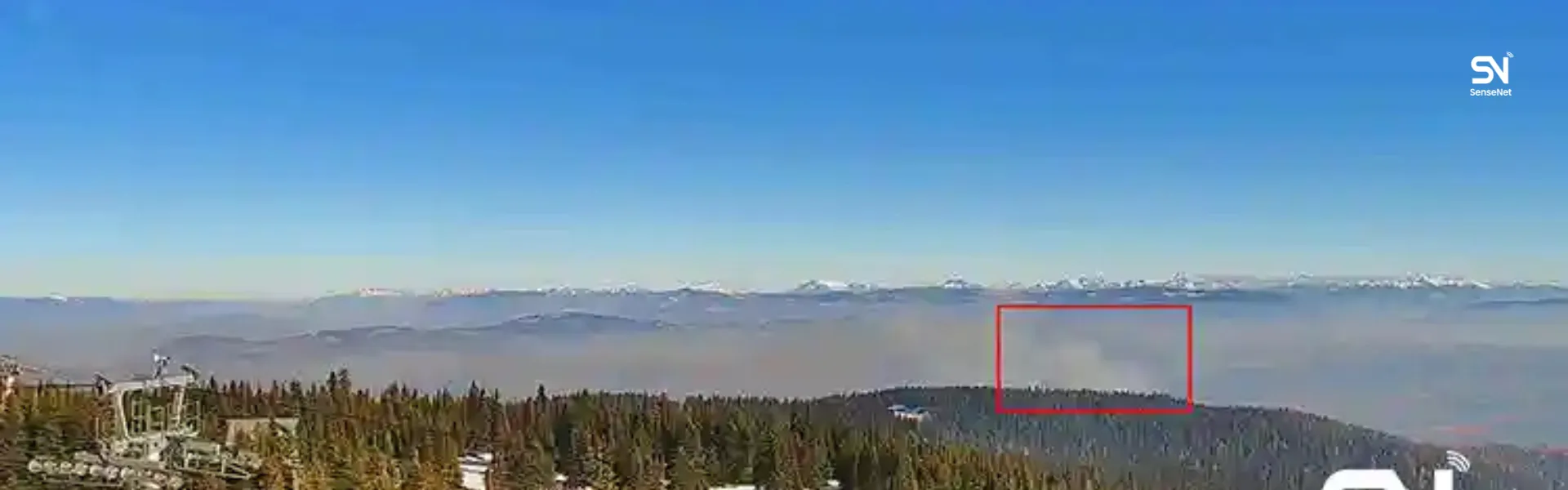
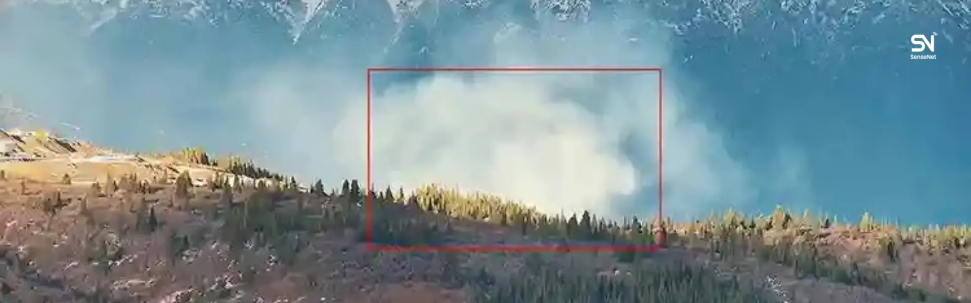
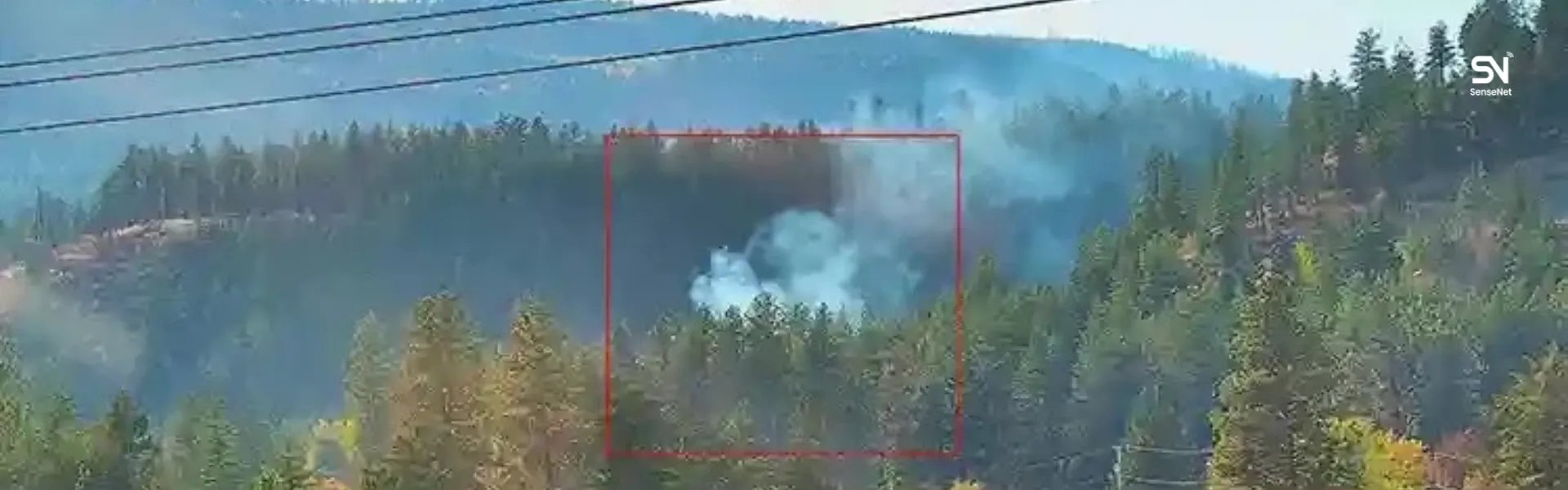
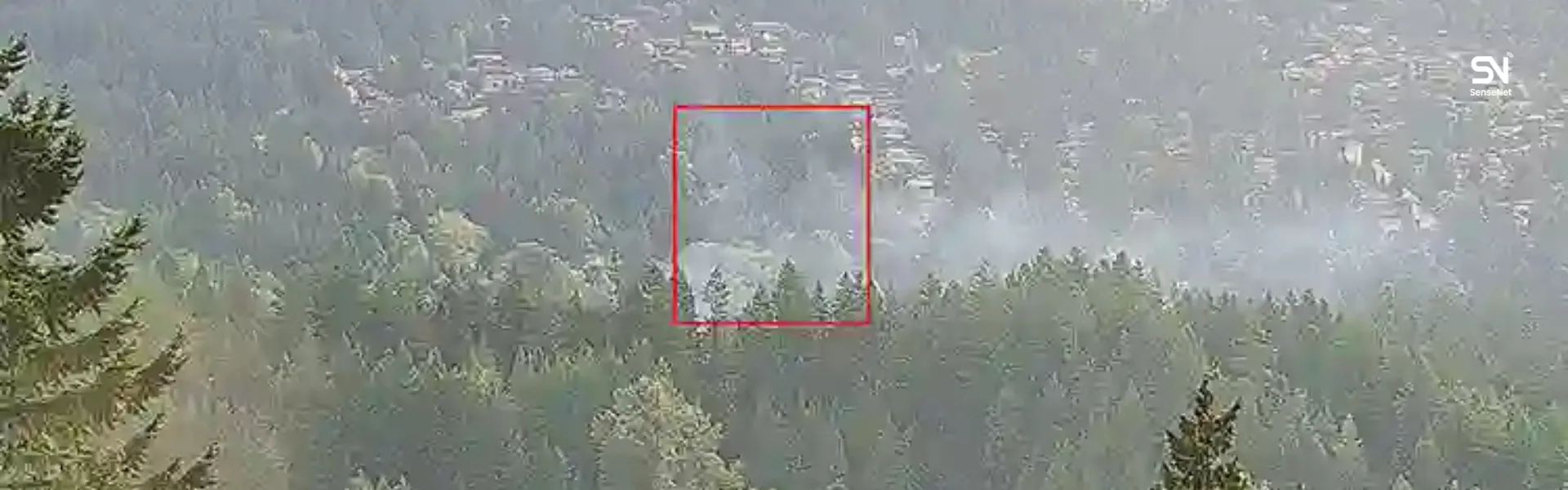
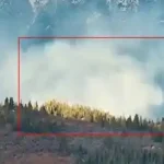
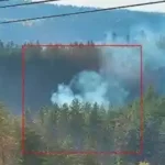
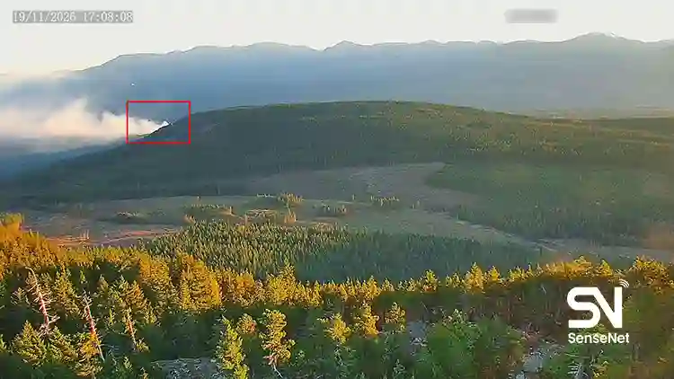
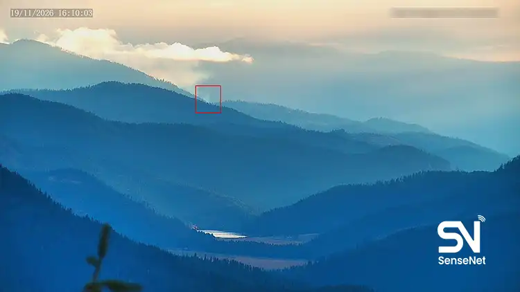
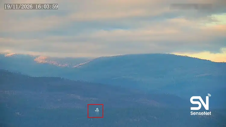
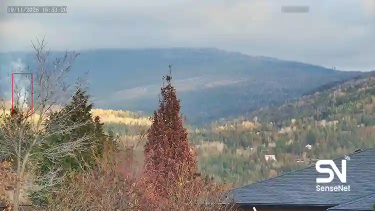
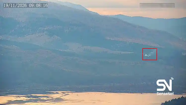
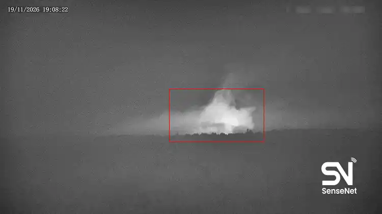
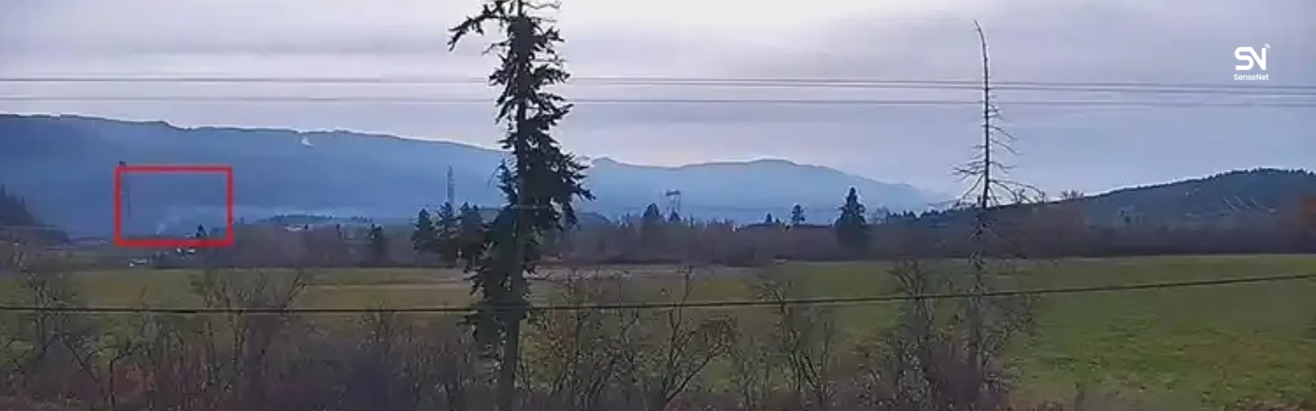
SenseNet uses AI-enabled cameras to identify smoke, gas sensors to detect early signs of combustion, and satellite imagery to provide a broader view of the monitored area.
Together, these technologies can reduce the time between a fire starting and the responsible teams becoming aware of it. In the Vernon monitoring project in British Columbia, a network of cameras and sensors has also been deployed to monitor areas prone to wildfire.

7. When Does Declining Fuel Moisture Become a Serious Warning Sign?
Fire chiefs and natural resource specialists often need to know at what point fuel moisture should be considered a warning sign of elevated risk.
There is no single threshold that applies everywhere.
For live fuel moisture, values of 120%, 100%, 80%, and 50% are used as reference points in some models and operational guidelines. For example, when grass fuel moisture falls below 120%, it may indicate that part of the fuel load is gradually transitioning from live to dead fuel. In the 50% to 80% range, live fuels can make a greater contribution to fire intensity.
These values do not apply uniformly to every plant species or geographic region. Even within the same area, grasses, shrubs, and trees may have very different moisture conditions.
Dead fuels must also be assessed separately. Thresholds developed for live fuels cannot be applied to dead fuel moisture, which depends on particle size, weather conditions, and time-lag category.
Warning thresholds should be established using local fuel models, dominant vegetation species, historical data, and the relationship between fuel moisture and observed fire behavior.
For operational use, it is also important to monitor trends rather than rely on a single measurement. A steady decline over several days or weeks may provide more useful information than an isolated reading.
8. Why Does Low Fuel Moisture Not Always Lead to a Wildfire?
This distinction is fundamental to wildfire risk management.
Dry vegetation creates conditions that are more favorable for ignition and fire spread, but a fire still needs an ignition source to start.
Once a fire begins, its behavior depends on several other factors:
- Wind: Affects oxygen supply, heat transfer, and ember movement.
- Topography: Slope and aspect influence the direction and rate of fire spread.
- Fuel continuity: The amount and arrangement of combustible vegetation determine how easily fire can move across the ground and between vegetation layers.
- Vegetation type and structure: Plant species differ in their chemical composition, shape, size, and flammability.
- Weather conditions: Changes in temperature, humidity, and wind can alter fire behavior over short periods.
A dry area with scattered vegetation, for example, may experience very different fire behavior from an area with dry, continuous fuel.
Effective risk management requires all these variables to be considered together.
9. Frequently Asked Questions About Fuel Moisture and Wildfire Risk
Can short periods of rainfall reduce wildfire risk?
Yes, but the extent and duration of the effect depend on rainfall intensity, duration, vegetation type, and how dry the area was beforehand.
Rain can increase moisture in fine surface fuels, such as leaves and dry grass, temporarily reducing their ignition potential. Its effects may not reach deeper organic layers or larger woody fuels.
After rainfall stops, solar radiation, wind, and declining relative humidity can dry fine fuels again. Rainfall records alone are therefore not enough to determine whether wildfire risk has decreased.
Can green vegetation contribute to fire spread?
Yes. Living vegetation is not necessarily resistant to ignition.
Many living plants, particularly trees and shrubs containing combustible compounds, can burn under suitable conditions. As their moisture content declines, less energy is needed to evaporate the water in their tissues.
Annual grasses can also dry as the growing season progresses, gradually becoming dead fuel. Risk assessments need to account for these seasonal changes.
What is the difference between Fuel Moisture and Soil Moisture?
These two indicators describe different parts of the environment.
Soil Moisture measures the amount of water present in the soil. Fuel Moisture measures the water contained in combustible plant material.
The two are related. A prolonged decline in soil moisture can limit the water available to plant roots and eventually reduce live fuel moisture.
The relationship is not the same for every plant. Root depth, soil type, plant species, and physiological condition all influence how soil moisture affects vegetation.
Does higher relative humidity always reduce wildfire risk?
Higher relative humidity generally causes fine dead fuels to absorb moisture, reducing their ignition potential.
The effect depends on fuel type and how long the materials remain in humid conditions. Larger fuels and deeper organic layers take longer to change their moisture content.
Relative humidity alone also cannot establish the moisture condition of live fuels. Soil water availability, growth cycles, and plant water stress must also be considered.
How often should fuel moisture be measured?
The appropriate measurement interval depends on fuel type and monitoring objectives.
Fine dead fuels can change considerably within a few hours. Daily monitoring, and in critical conditions several measurements per day, may therefore be useful.
Live fuel moisture generally changes more gradually and follows seasonal patterns, although severe drought can accelerate the decline.
For professional wildfire management, periodic field measurements should be combined with weather data and ongoing satellite monitoring.
Can Fuel Moisture be used to predict where a wildfire will start?
Fuel moisture can help identify areas that are more susceptible to fire, but it cannot determine the exact location of a future ignition.
Assessing ignition likelihood also requires information about potential ignition sources, weather conditions, terrain, and human activity.
It is also important to distinguish between predicting where a fire may start and predicting how it will spread after ignition. These are separate tasks and require different models and inputs.
Conclusion: Understanding Fuel Conditions Is Essential to Wildfire Risk Management
Fuel Moisture Content is an important variable in assessing vegetation flammability and wildfire behavior. Its significance goes beyond the amount of water held in plant material. Moisture trends, fuel type, weather conditions, and vegetation structure all influence the level of risk.
For organizations responsible for protecting forests, infrastructure, and communities near wildland areas, general weather data and occasional assessments cannot provide a complete picture of changing conditions.
A more effective approach combines environmental monitoring, vegetation analysis, identification of conditions that favor fire, and rapid detection of early fire indicators.
Systems such as SenseNet bring together environmental sensors, smart cameras, satellite imagery, and data analysis to support this work. The resulting information can help assess risk, prioritize areas for monitoring, and support operational decisions.
Knowing when vegetation has become dry is important. Knowing where that change is occurring, how quickly conditions are developing, and what they could mean for fire behavior gives that information practical value in wildfire management.lutions can consider these capabilities when assessing systems for remote and hard-to-access areas.
Author and Content Department Manager:
Neda Khanifar
Content Department Manager