Wildfire Spread Prediction System
A major part of a firefighting team’s responsibilities is being able to make an accurate estimate of the path a wildfire will take. But is this possible without accurate data?
Knowing the current location of a fire alone is not enough. The firefighting team needs to be able to estimate which parts of the forest will be exposed to fire in the next few hours, how quickly the fire will advance, and in which direction the smoke will move.
A location equipped with a wildfire spread prediction system will not face much difficulty, but the situation in a part of the forest that is not covered by such a system will certainly become difficult and complicated.
An advanced fire spread prediction system combines weather, topography, vegetation, fire location, and satellite observations to provide a picture of the fire’s probable future behavior.
SenseNet has also developed this capability as one of the core components of its fire management platform. The company’s Fire Spread & Behaviour model can provide predictions from 8 hours to 7 days and uses more than 30 data sources for modeling.
But how exactly is this prediction made? Let us take a deeper look at the applications of the system in this article.
How Does Wildfire Spread Prediction Work?
Fire does not move randomly through a forest.
Its behavior is affected by a set of factors:
• Wind speed and direction
• Air temperature
• Humidity
• Terrain slope
• Slope aspect
• Type and density of vegetation
• Fuel moisture content
• Current fire location
• Fire intensity and energy
Therefore, a Wildfire Spread Prediction System must be able to examine these variables simultaneously.
For example, a fire may be located at a specific point, but if strong winds are blowing toward a dry slope, the predicted fire path will be completely different from what it would be if the wind changed direction.
That is why the system does not simply draw a line on a map and say, “The fire will move from here to here.” The model must continuously update environmental conditions and the actual location of the fire.
What Data Is Needed to Predict Fire Behaviour?
The more accurate and up-to-date the input data is, the better picture the model will have of current conditions.
In SenseNet’s architecture, different types of data are brought together for risk analysis, fire monitoring, and behaviour prediction.
Weather Data
Wind is one of the most important factors determining the direction of a fire.
But wind speed is not the only thing that matters. Wind direction, temperature, humidity, and changes in these variables over time must also be taken into account in the model.
Topography
A fire does not behave the same way on completely flat ground as it does on a steep slope.
Terrain slope can change the rate at which a fire advances. That is why information about elevation, slope, and terrain shape is an important part of fire behaviour modeling.
Vegetation
The type and density of vegetation determine how much fuel the fire has in front of it.
A dense and dry area can behave completely differently from a sparsely vegetated area.
Information About the Fire Itself
The model needs to know where the fire is now and how far it has spread.
That is why new observational data, such as satellite imagery and information about the Fire Perimeter, can bring predictions closer to actual conditions.
In modern systems, this process can be repeated continuously: new information enters the system and the previous prediction is adjusted based on the new situation. Recent research also emphasizes this approach and updates prediction models using new observations of the fire.
Why Does Combining Real Data With AI Matter?
One of the limitations of simple models is that they may oversimplify the actual conditions of a fire.
Suppose the system predicts at 10 a.m. that the fire will move north over the next few hours.
But at 11:30 a.m., the wind direction changes.
If the model continues to operate based on the 10 a.m. data, its prediction will no longer provide an accurate picture of the current situation.
This is where Real-Time wildfire Data becomes important.
SenseNet uses satellite data, weather data, and fire observations for Fire Spread & Behaviour Analysis, and its model can provide predictions ranging from several hours to several days.
Simply put, instead of calculating the fire’s path once and keeping it unchanged, the system can reassess the future picture as new data becomes available.
The Role of Satellite Imagery in Wildfire Spread Prediction
Satellites are not only used to find fires.
One of their important applications is observing changes in the fire over time.
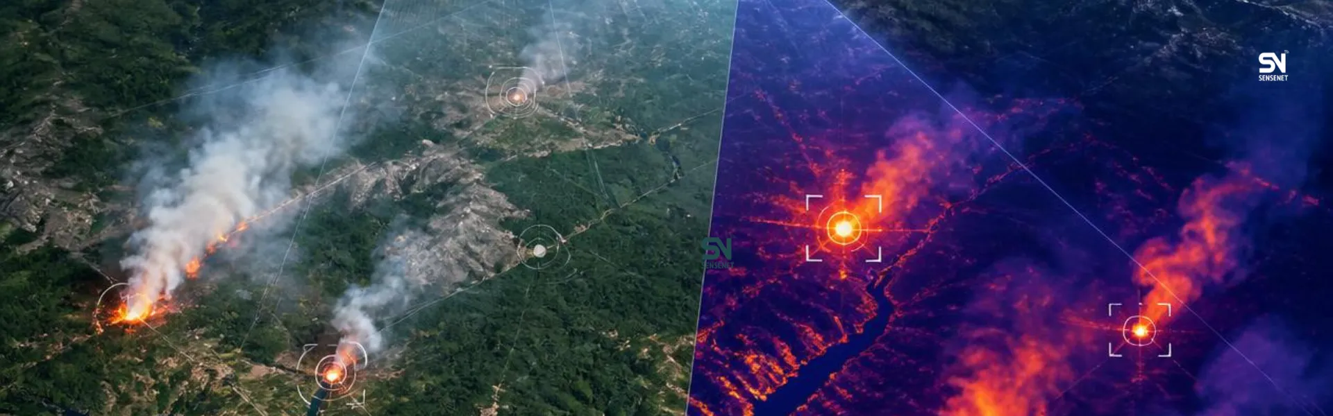
Satellite imagery can provide information about the fire perimeter, hotspots, and changes in the area to the model.
SenseNet uses Satellite Imagery for Fire Spread Analysis and combines this data with prediction models to determine the probable direction and rate of fire spread.
This is particularly important for large fires, where directly observing the entire fire front is almost impossible for ground teams.
Satellites can provide a broader view of the area, and their information can be used as one of the layers of the prediction system.
One Important Point: Fire Prediction Does Not Start When the Fire Starts
This is one of the important differences between SenseNet’s architecture and a simple Fire Spread Prediction system.
If the system already has extensive information about an area, it has more data available for analysis when a fire occurs.
For example, SenseNet uses data related to fire risk, vegetation, weather, topography, and fire history for risk modeling. Even in SenseNet’s patent published in 2026, the risk prediction architecture is described as combining satellite imagery, vegetation indices, weather data, potential fire ignition sources, and fire history.
This means that when a fire starts, the system does not have to start collecting information about the area from scratch.
Part of its understanding of the area already exists.
The Lightning Story; When the System Knows Where to Look
One of the interesting applications of this type of architecture is related to Lightning Detection.
Lightning can cause fires, but it does not always immediately create a large flame.
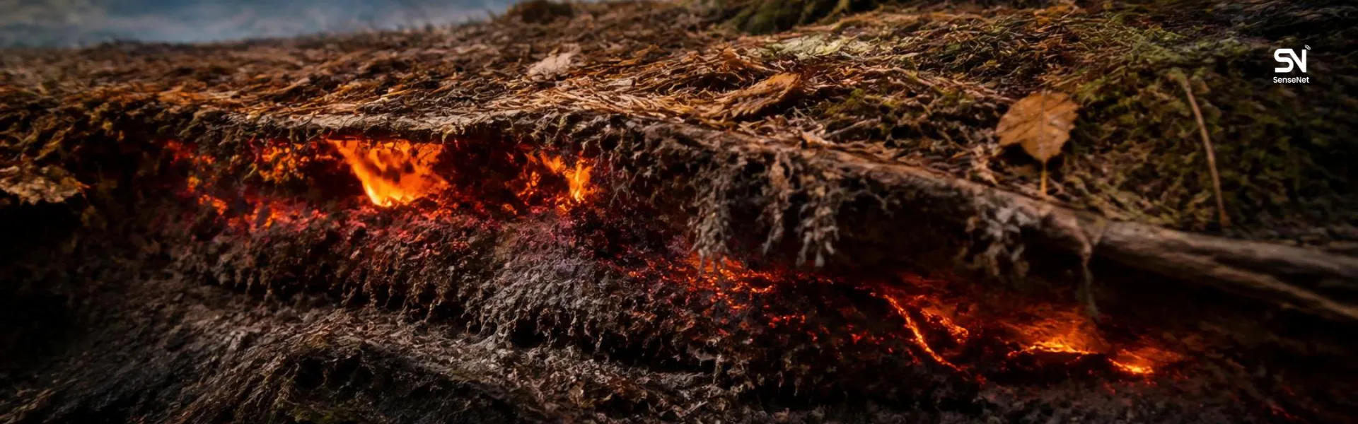
Sometimes, a lightning strike location remains as a smoldering or latent fire for a period of time and then becomes active again as conditions become drier or weather conditions change.
In SenseNet’s architecture, after lightning strike locations are identified, cameras can continuously monitor those points. This monitoring can continue for up to two weeks so that if a smoldering fire becomes active again, the system can detect signs of it at an early stage.
Why Does Smoke Prediction Matter?
The path of the flames and the path of the smoke are not necessarily the same.
Smoke can move in a different direction under the influence of wind and atmospheric conditions and can affect areas farther away from the fire front.
That is why a complete Fire Behaviour Analysis system should not only look at the flame perimeter.
In its Physical Fire Modeling & Dynamics component, SenseNet combines satellite data with weather and topographic information to model fire behaviour and smoke movement as well.
This information can be important for evacuation planning, air quality management, and even planning routes for emergency response teams.
A Real-World Experience; When Prediction Starts After Detection
An interesting example of this approach can be seen in British Columbia.
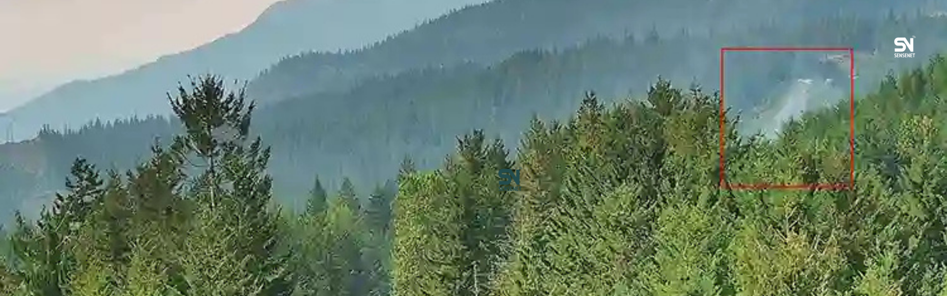
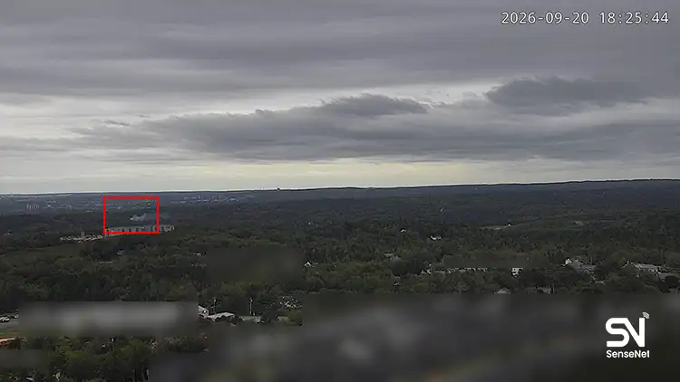
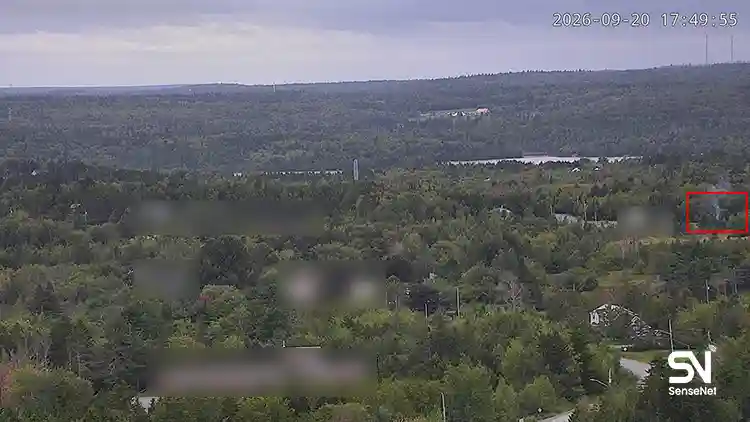
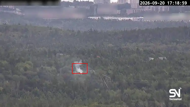
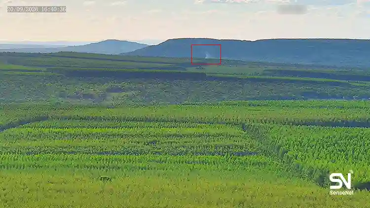
During the Drought Hill wildfire near Peachland, the SenseNet system first detected the fire at an early stage. According to a report published by SenseNet, the cameras detected the fire approximately one minute after observing smoke.
But the importance of the system did not end with that initial detection.
Afterward, information about the fire’s condition, firefighting aircraft activity, flame length, rate of spread, and a 24-hour prediction of the fire’s probable path was made available to operational teams.
This is exactly the shift that matters in modern wildfire management:
Detection is not the end of the process; it is the beginning of decision-making.
Why Does the Data Collected by SenseNet Matter?
The more data a system has about an area, the more accurate its picture of that area’s conditions will be.
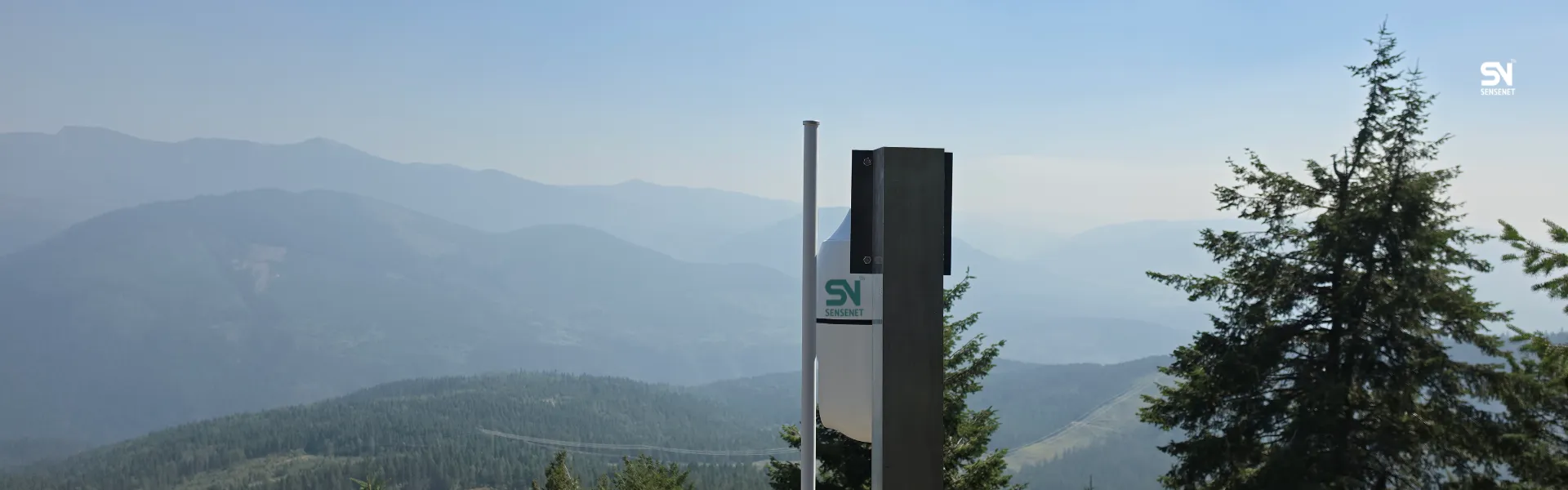
SenseNet currently uses a network of sensors and cameras to collect data, and its platform is designed not only for detection, but also for Risk Modeling, Hotspot Monitoring, and Fire Spread & Behaviour Analysis.
This means that the same infrastructure used for fire detection can also help generate the information needed to manage and predict the fire.
In a traditional system, detection data, weather information, satellite data, and operational management information may be stored across several separate systems.
But when these data sources are brought together on a single platform, the possibility of combined analysis increases.
What Should a Good Wildfire Spread Prediction System Predict?
If you are considering using a SenseNet system, you should first ask these questions:
• How many hours or days ahead does the system provide predictions?
• What data sources does the model use?
• Is real-world fire data incorporated into the model?
• Is the prediction updated when weather conditions change?
• Is the area’s topography included in the calculations?
• Are vegetation and fuel conditions taken into account?
• Can the probable smoke path also be assessed?
• Is the output usable for operational teams, or is it only a research map?
• Can the system examine different scenarios?
• Are satellite and ground-based data used together?
These differences determine whether you are dealing with a Wildfire Intelligence System or simply a basic prediction map.
Conclusion
When a fire occurs in a forest, everything is constantly changing, and different factors such as wind, humidity, the fire front, and new fuel can contribute to its spread. Therefore, predicting fire behaviour is not a one-time calculation.
A Wildfire Spread Prediction System must receive new data, understand the actual condition of the fire, and recalculate its probable path based on the new conditions.
SenseNet carries out this process by combining data from sensors, cameras, satellites, weather, topography, and AI models, providing predictions from 8 hours to 7 days for Fire Spread & Behaviour Analysis.
And perhaps the most important advantage of such a system is this:
When we know where the fire is now, we can respond; but when we know where it is likely to go, we can also prepare for the next step.
Frequently Asked Questions
Can wildfire spread prediction determine the exact path of a fire?
No. No scientific model can determine the fire’s path with 100 percent certainty because conditions such as wind and humidity are constantly changing. More advanced systems calculate probable areas and scenarios of fire spread based on the available data instead of providing one definite path.
How often should a Fire Spread prediction be updated?
There is no fixed number that applies to every fire. The faster conditions change, the more frequently an update may be needed. Using new satellite data, the actual Fire Perimeter, and weather information can help keep the model from falling behind real-world conditions.
Is it possible to predict fire behaviour before a wildfire starts?
Yes, but a distinction must be made between Fire Risk Prediction and Fire Spread Prediction. Before a fire occurs, the probability and risk of ignition can be assessed based on weather, vegetation, fire history, and potential fire ignition sources. After a fire starts, the Spread Prediction model focuses on its probable path and rate of spread. SenseNet provides both capabilities within its platform.
Can lightning be incorporated into a fire prediction system?
Yes. Data about lightning strike locations can be used to identify areas that should be monitored more closely. This is particularly important for smoldering fires, because a location may not immediately produce a visible flame but can become active later.
Are satellite images alone enough to predict wildfire spread?
No. Satellites provide a very broad view, but they have limitations such as revisit times and cloud cover. Therefore, combining satellite imagery with ground-based data, weather, topography, and real-time observations can provide a more complete picture.
Can the system also estimate the time it will take for the fire to reach a specific area?
Advanced fire spread models can provide information not only about the probable burned area, but also about fire arrival time and the probability of a given area burning. A recent study in 2026 also used Arrival Time as one of the outputs for evaluating fire spread prediction models.
What is the most important application of fire spread prediction for firefighters?
This information can help operational teams make decisions about personnel positioning, access routes, area prioritization, and evacuation planning before the fire reaches an area. The purpose of the model is not to replace the incident commander; its purpose is to help the decision-maker understand what is likely to happen in the next few hours.
Author and Content Department Manager:
Neda Khanifar
Content Department Manager