Integrating Wildfire Detection Systems with Emergency Operations Centers
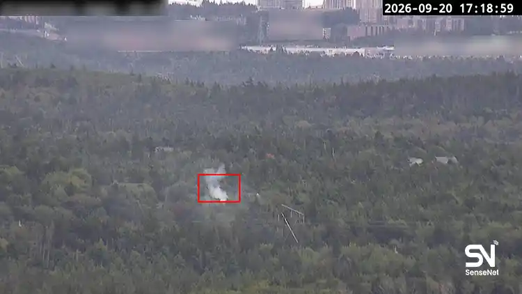
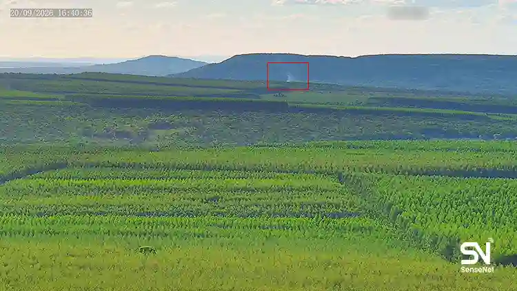
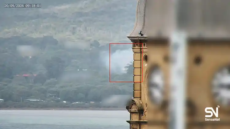
In many wildfire monitoring projects, fire detection systems are treated as standalone tools, but their real value emerges only when they are directly and intelligently integrated with Emergency Operations Centers (EOCs), command systems, and multi‑layer communication networks.
When the timeline shrinks to seconds and minutes, the gap between detection and action is exactly what determines whether a wildfire becomes a small incident or a regional crisis.
Many of the challenges involved in this integration appear simple but are actually highly technical, operationally complex, and rarely discussed. Only people who have worked directly with such systems and have experienced how fragile certain processes become during an actual emergency truly understand these pitfalls.
In this article, we focus on these overlooked points and share the most realistic layers involved in connecting fire detection systems to crisis management centers. Keep scrolling.
1. The Core Integration Problem: The Semantic Gap
In many projects, the detection system issues an alert but that alert is not operationally meaningful for the EOC. Two hidden challenges emerge here:
• Lack of semantic integration
EOCs need operational context, not just an alarm. Details such as smoke type, growth intensity, wind direction, confidence level, and modeled spread probability matter.
• Heterogeneous data formats
Cameras, sensors, weather stations, and GIS layers all speak different technical languages.
The professional solution:
Creating an Operational Data Translation Layer that converts raw data into an actionable message for the crisis center.
In Sensenet solutions, this translation is handled by the environmental analytics engine, which outputs decision‑support indicators rather than raw sensor data.
2. The Hidden Challenge: Latency as an Operational Failure Point
In most technical documents, latency refers to delays in camera feeds or internet communications. However, crisis-level operations involve three types of latency that are rarely measured:
• Latency in converting data into a usable alert
• Latency in relaying the alert to the command layer
• Latency in delivering action orders to field teams
Studies show that in many large wildfire events, early detection did exist, yet the alert relay and decision-making were delayed by 10 to 30 minutes.
This means that early detection without a rapid operational response is effectively useless.
Solution: Define a low‑latency communication hierarchy with redundant (parallel) pathways between the detection system and the EOC.
3. Effective Integration Requires Geospatial Data Fusion
Many assume that placing a fire icon on a map means integration is done. But in true professional setups, four geospatial layers must be processed simultaneously:
- High-resolution topography (DEM)
- Vegetation and fuel load
- Local wind and microclimate mesh
- Fire spread models
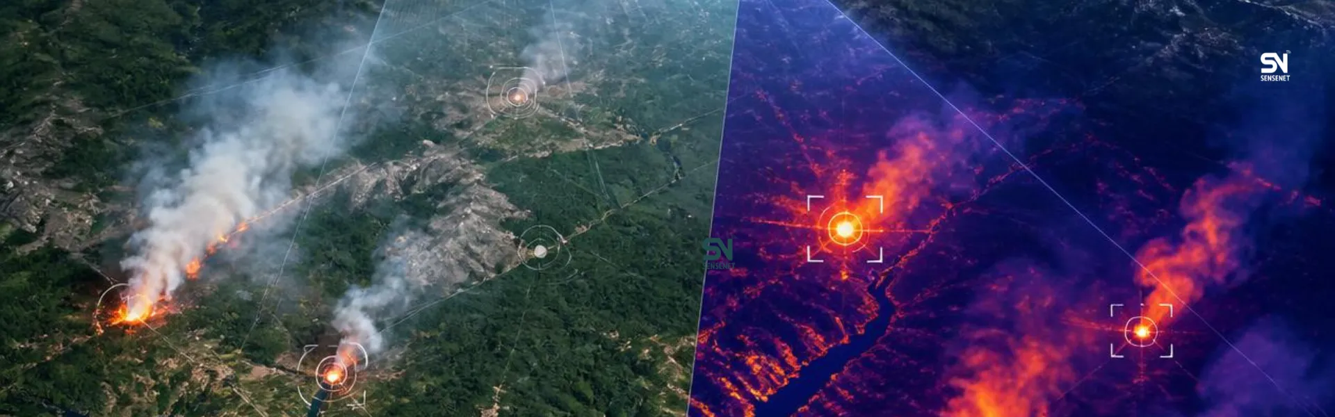
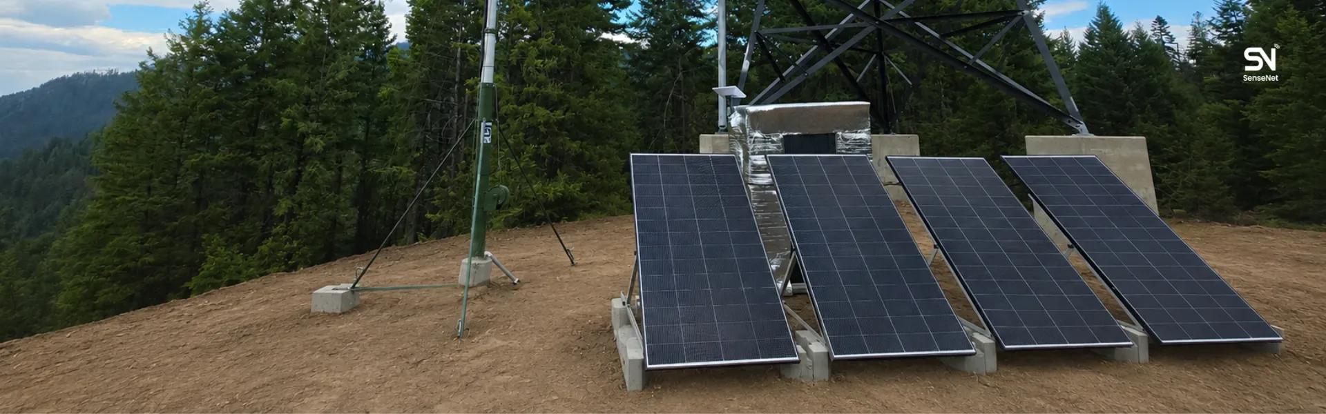
Advanced systems like Sensenet combine these layers to forecast fire spread speed and direction and deliver that output directly to the EOC.
4. Integration with Crisis Centers Must Be Behavior‑Driven, Not Data‑Driven
Crisis centers need operational scenarios, not just raw data.
After detecting a fire, the system should automatically perform the following actions:
• Map probable spread paths
• Suggest the nearest available teams
• Highlight communication blind zones
• Identify safe deployment points
• Identify available assets, such as firebreaks, roads, tankers, and drones
This is known as Decision‑Centered Fusion.
At Sensenet, this layer is provided through the atmospheric‑topographic analytics engine.
5. A Common Mistake: Assuming Detection = Preparedness
Many organizations believe “having an alert” means being prepared.
But in crisis management, an alert is only the starting point.
True integration happens when the following pipeline is fully connected:
Alert → Initial Analysis → Spread Estimation → Response Scenarios → Resource Allocation
In wildfire projects lacking this pipeline, the detection system becomes merely a messenger, not an operational tool.
6. A Critical but Rarely Mentioned Need: Field Telemetry
Real integration must be bidirectional.
Most organizations only send outgoing data from the detection system to the crisis center. But field telemetry returned from ground teams is essential:
• GPS positions of field teams
• Actual wind behavior at the site
• Visibility conditions
• Flame height and progression
• Live drone imagery
This two‑way integration enables the detection system to continuously update and correct spread models.
7. Sustainable Integration Requires a Common Standard
Until a unified protocol exists for connecting detection systems to EOCs, every project becomes a patchwork of custom-made adapters.
One promising direction is the adoption of common standards.
Standards like CAP (Common Alerting Protocol) and NG‑EOC are helpful, but wildfire‑specific versions of these standards must be developed.
Sensenet has already used CAP in several large regional deployments to connect its advanced alerts to provincial crisis management systems.
Conclusion
Integrating fire detection systems with crisis management centers is not a simple “software connection.” It is a multilayered, intelligent, decision-driven process supported by real-time data and designed from the ground up for real-world environmental conditions.
From managing communication latency to geospatial data fusion, from meaningful alert translation to operational scenario building, each layer is essential. Companies specializing in early wildfire detection, such as SenseNet, create real value not merely by detecting fires, but by helping emergency operations centers take faster, more coordinated, and better-informed action.