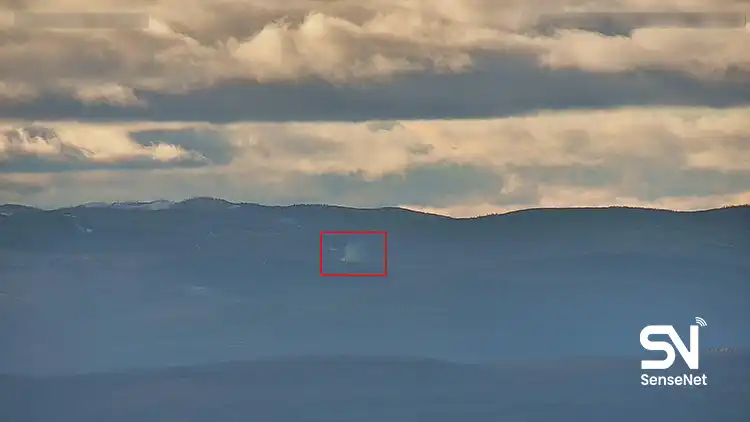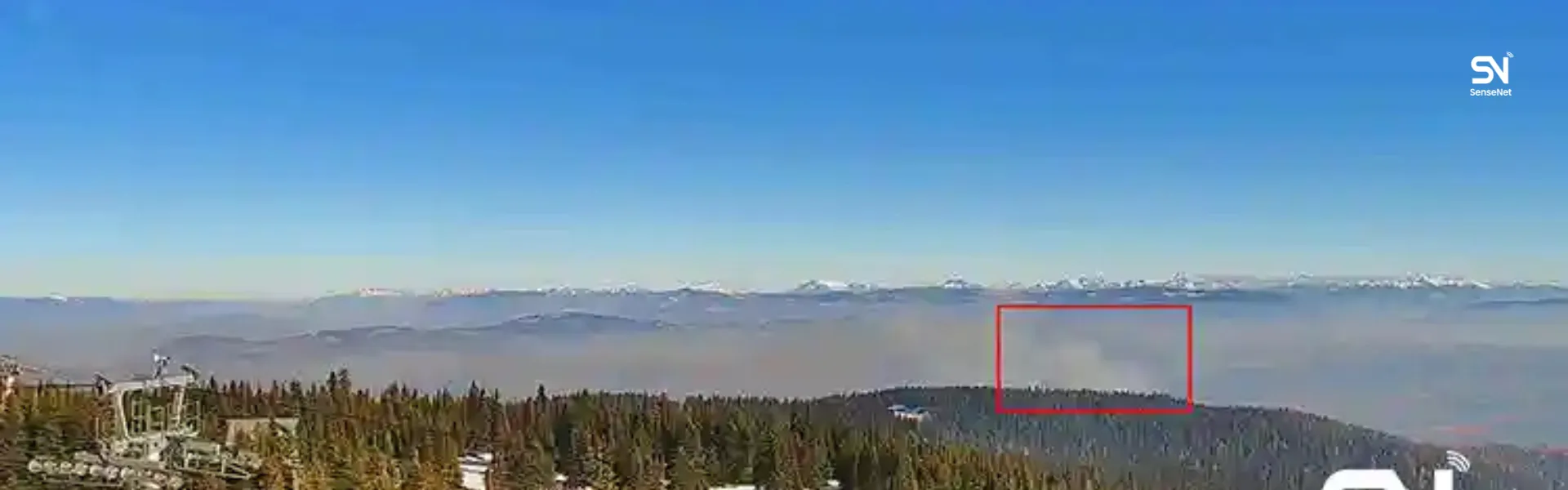
The Wildland Urban Interface
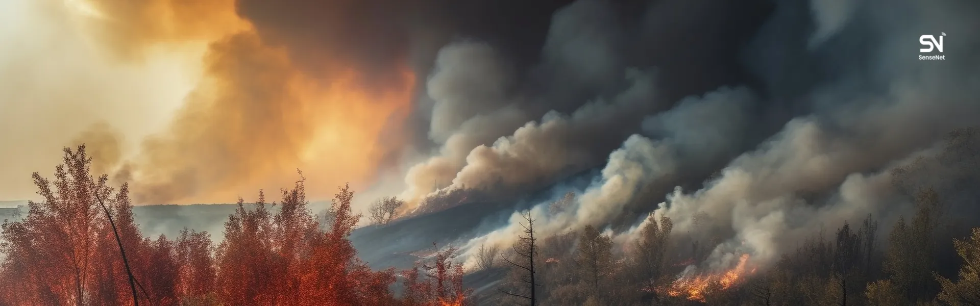
The Wildland Urban Interface (WUI) describes areas where homes, infrastructure, and natural vegetation meet. These areas face particular wildfire risks because fires can move from forests into residential neighborhoods, putting people, buildings, and critical infrastructure in danger.
This article looks at how WUI areas are defined, why wildfires behave differently near homes, and what communities can do to reduce their exposure. It also examines the role of early detection in preventing fires from reaching populated areas.
What is WUI?
The Wildland Urban Interface refers to areas where buildings and human infrastructure are located next to or within natural vegetation. It generally takes two forms:
- Interface: Homes and communities built along the edge of a forest or rangeland.
- Intermix: Homes and other structures scattered among trees, shrubs, and other natural vegetation, with no clear boundary between developed and wildland areas.
Across Canada, many communities are located where residential development meets forest and other wildland vegetation. In British Columbia, Kelowna and surrounding communities in the Okanagan Valley are clear examples. Residential neighbourhoods extend into areas of natural vegetation, forested slopes, and parkland. The 2003 Okanagan Mountain Park fire demonstrated the risks of this proximity when flames reached the outskirts of Kelowna and destroyed hundreds of homes.
As construction and tourism expand, more homes and infrastructure are being built in areas exposed to wildfire.
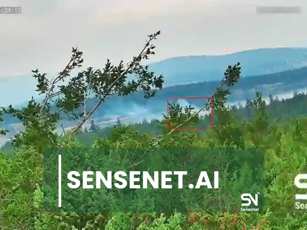
Why are wildfires more dangerous in WUI areas?
Wildfires near residential communities create several challenges for residents and emergency response teams.
1. Buildings add to the available fuel.
Vegetation is only part of the problem. Homes, wooden fences, sheds, firewood, vehicles, and other outdoor materials can also catch fire. Once flames reach a residential area, the fire can spread between structures as well as through surrounding vegetation.
2. Wind-driven embers can ignite homes ahead of the fire front.
Many homes destroyed during major wildfires are ignited by flying embers rather than direct contact with flames. Strong winds can carry burning material over considerable distances, allowing embers to land on roofs, enter yards, or reach vulnerable openings in buildings.
This means a home can catch fire even when the main fire front is still some distance away.
3. Evacuation and firefighting become more difficult.
Narrow roads, limited exit routes, unfamiliarity with evacuation procedures, and restricted access for firefighting crews can all delay emergency response.
The 2018 Camp Fire in California demonstrated the consequences of a rapidly spreading wildfire in a populated area. The fire destroyed much of Paradise and killed 85 people.
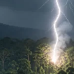
Human activity is also a major source of ignition in many WUI regions. Unattended campfires, discarded cigarette butts, power lines, and agricultural activities can all start fires near residential areas. As more people live and work close to forests, the number of potential ignition sources increases.
What reduces wildfire risk in WUI areas?
Reducing wildfire risk around homes requires attention to both the surrounding vegetation and the buildings themselves. Three measures are commonly used in community wildfire preparedness.
1. Defensible space
Defensible space is the area around a building where vegetation and other combustible materials are managed to reduce the chance of fire reaching the structure.
It is generally divided into zones:
- Closest to the building (about 1 to 1.5 meters): Remove combustible materials, including firewood, dry shrubs, fallen leaves, and other debris.
- Intermediate zone (up to about 9 meters): Reduce vegetation density, prune lower tree branches, and maintain gaps between shrubs.
- Outer zone (about 30 meters or more): Reduce available fuel and avoid continuous vegetation that could allow fire to spread toward the building.
The exact requirements depend on local regulations, vegetation, terrain, and fire conditions.
2. Home hardening
Home hardening involves making buildings less vulnerable to wildfire ignition.
Measures include installing non-combustible roofing and exterior materials, covering windows and ventilation openings with fine metal mesh, cleaning gutters regularly, and keeping firewood away from exterior walls.
These measures help reduce the risk of embers entering a building or igniting combustible materials around it.
3. Early warning and evacuation
Residents need enough time to respond when a wildfire threatens their community. The sooner authorities detect a fire and communicate the risk, the more time people have to prepare or evacuate.
Detection time can make a substantial difference. A fire identified while it is still small may be easier for emergency crews to contain. If it spreads for several hours under dry and windy conditions, the response becomes much more difficult.
For communities in WUI areas, the time between ignition and the first reliable alert is an important factor in emergency preparedness.
Why does early detection matter in WUI management?
A wildfire can change rapidly during its first minutes and hours. Detecting it early gives emergency teams an opportunity to investigate and respond before it spreads across a larger area.
Many fires begin in locations with little or no human presence. Valleys, remote slopes, and inaccessible forest areas may be far from roads, settlements, and conventional lookout points. In some locations, there is no electricity or reliable internet connection.
These conditions make continuous monitoring difficult. A fire may remain undetected until smoke becomes visible from a nearby village or town. By then, it may already cover a much larger area.
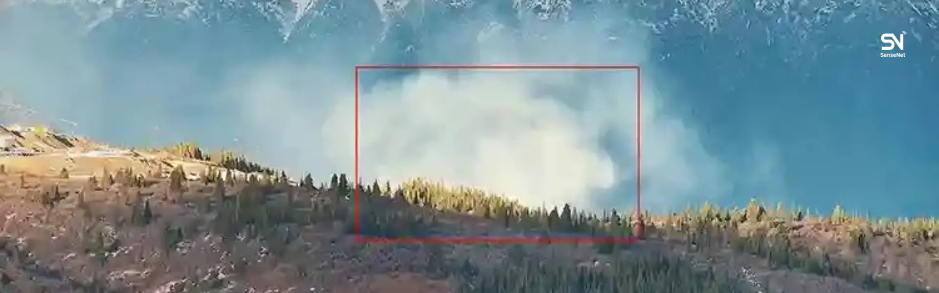
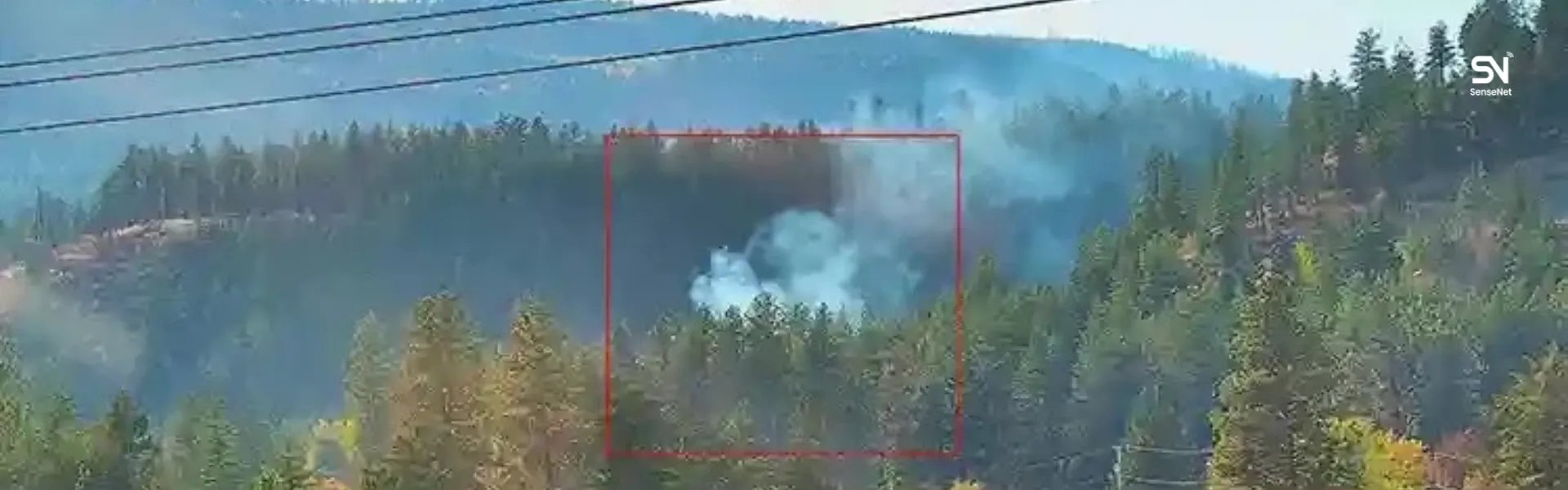
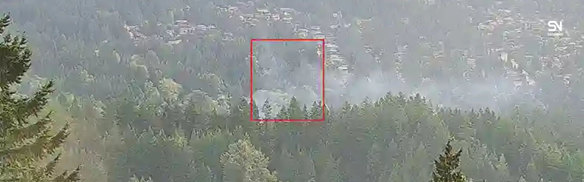
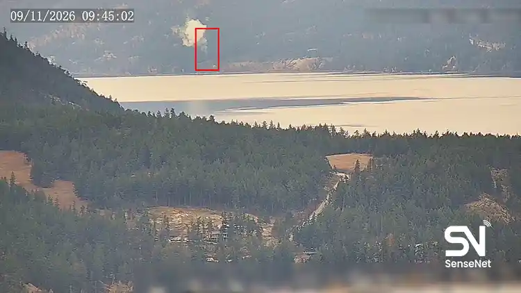
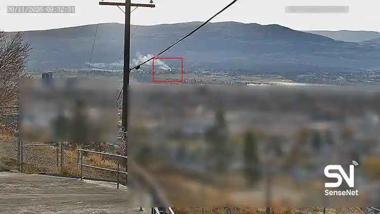
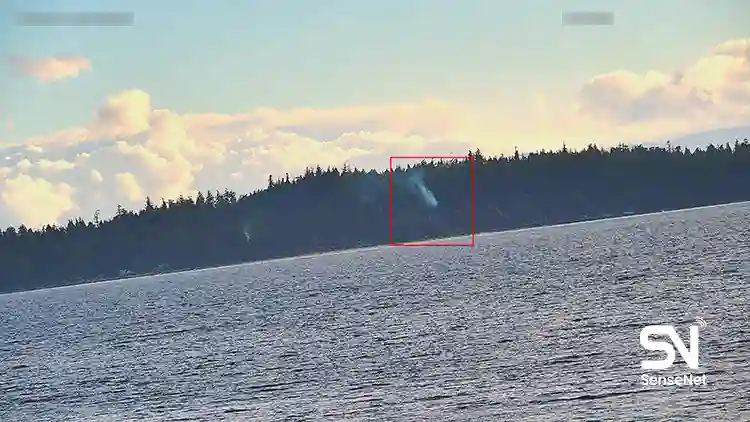
Early detection systems can help address this gap by monitoring remote locations and sending alerts when signs of fire appear. Their effectiveness depends on camera placement, environmental conditions, communication infrastructure, and the ability to verify alerts quickly.
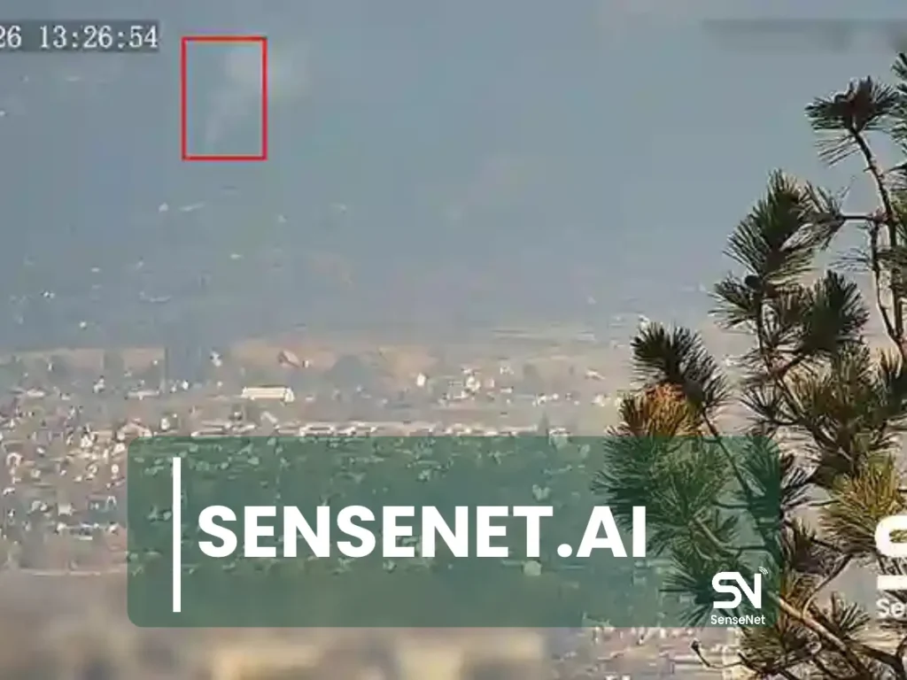
Our experience at SenseNet
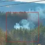
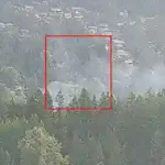
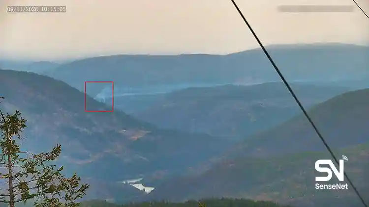
SenseNet develops wildfire detection systems for remote forests and locations where conventional monitoring infrastructure is limited. Our approach combines solar-powered cameras and environmental sensors to monitor areas without access to electricity or conventional internet connections.
Operating in these locations places specific demands on the equipment. Cameras and sensors must remain functional in changing weather conditions, while the system must transmit useful information to monitoring teams.
Our field experience has brought several practical considerations into focus.
Camera placement affects detection coverage.
A camera positioned on a ridge or elevated location can provide a much wider view of the surrounding terrain than one installed in an area with obstructed visibility. Choosing suitable monitoring locations requires an understanding of the landscape, vegetation, and potential fire paths.
Equipment must operate through changing weather conditions.
Cold temperatures, fog, dust, and extended periods of limited sunlight can affect field equipment. Solar-powered systems need to maintain operation under these conditions, particularly during periods when monitoring remains essential.
False alarms affect response teams.
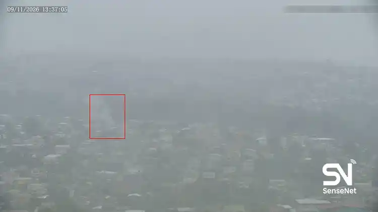
Smoke detection systems need to distinguish actual fire activity from other visual conditions, including fog, clouds, dust, and water vapor. Frequent false alerts can make it harder for emergency teams to identify genuine threats. Reducing false alarms is therefore an important part of system performance.
Alert delivery is part of the detection process.
Detecting smoke is only one stage of an effective response. The monitoring team also needs access to accurate location data and visual information so that the appropriate authorities can assess the situation.
In remote forest areas, identifying a fire before it spreads toward nearby communities gives response teams more time to act. For WUI communities, this early warning can affect how much time residents and local authorities have to prepare.
Managing WUI wildfire risk
Managing wildfire risk in WUI areas involves two areas of work: reducing the likelihood that homes will ignite and improving the time available to detect and respond to fires.
Residents and local authorities can reduce combustible materials around buildings, improve the fire resistance of structures, and prepare evacuation procedures. Continuous monitoring of nearby forests can help emergency teams identify fires before they reach populated areas.
These measures address different parts of the same risk. Communities need both to reduce their exposure to fire and to detect incidents early enough for an effective response.
Frequently Asked Questions
Is my house in a Wildland Urban Interface (WUI) area?
If your home is located near continuous forest vegetation, rangeland, or scrubland, it may be exposed to WUI wildfire risk. A property does not need to be directly surrounded by a large forest to face this risk. Its distance from combustible vegetation and the surrounding landscape both matter.
If a wildfire is still kilometers away, can my home be at risk?
Yes. Wind can carry burning embers ahead of the main fire front. These embers may land on roofs, vegetation, or other combustible materials and start new fires before the flames reach the neighborhood.
What is the most important step to reduce wildfire risk around a home?
Start by removing combustible materials close to the building. Keep firewood away from exterior walls, clear dry leaves and needles from roofs and gutters, and maintain defensible space around the property.
Does installing a sprinkler system around a house help during a wildfire?
A sprinkler system may help wet vegetation and exposed surfaces, depending on its design and available water supply. However, water pressure can be affected during emergencies, and sprinklers cannot guarantee that a building will survive a wildfire.
Residents should follow official evacuation instructions and leave early when authorities identify a threat.
When should residents evacuate during a wildfire?
Residents should evacuate as soon as local authorities issue an evacuation order. If smoke or flames are visible nearby and conditions appear dangerous, they should follow local emergency guidance rather than wait until the fire gets closer.
Leaving early reduces the risk of becoming trapped on roads as conditions deteriorate.
Why aren’t satellites or public reports enough to detect wildfires?
Satellite systems provide valuable information about wildfire activity, but their observation schedules and spatial resolution can limit their ability to identify small fires immediately. Public reports also depend on someone noticing the fire and contacting the relevant authorities.
Ground-based cameras and sensors can provide additional monitoring between satellite observations and in locations where no one is available to report smoke. Combining these sources can improve situational awareness.
How do wildfire detection cameras work in forests without electricity or internet?
Remote monitoring systems can use solar panels and batteries to operate without a connection to the electrical grid. Communication systems, including satellite internet, can transmit images and alerts from locations without conventional network coverage.
Equipment selection and system design must account for environmental conditions such as cold temperatures, fog, dust, and consecutive cloudy days.
Do wildfire detection systems produce too many false alarms?
False alarms are a concern with automated smoke detection. Fog, clouds, dust, and water vapor can sometimes resemble smoke in camera images.
A reliable system needs to distinguish these conditions from actual fire activity and provide alerts that monitoring teams can verify. False alarm rates and verification speed are important factors when evaluating detection performance.
How can a village or local community benefit from early wildfire detection?
Communities can work with local authorities to identify nearby areas with higher wildfire exposure, including valleys, forested slopes, and locations where wind conditions may increase fire risk.
Monitoring cameras and sensors can then be positioned in suitable locations, with an alert procedure established between the monitoring team and responsible emergency services.
What are the best companies for early wildfire detection?
Wildfire detection providers use different technologies, including satellite monitoring, camera networks, ground-based sensors, and systems that combine several data sources.
The right solution depends on the location, monitoring requirements, available infrastructure, and environmental conditions. Remote forests without electricity, conventional internet, or regular human presence require equipment designed to operate independently.
SenseNet provides solar-powered cameras and environmental sensors for these conditions, with a focus on detecting wildfires in their early stages. Organizations evaluating wildfire detection solutions can consider these capabilities when assessing systems for remote and hard-to-access areas.
Author and Content Department Manager:
Neda Khanifar
Content Department Manager